Ordnance Survey has been involved in producing paper maps since the early days although the methods have changed considerably. This originally used copperplate engraving but by the time Ordnance Survey decided to outsource this, it was a high tech operation with new printing presses and other equipment.
The Print Floor was located on the ground floor of the William Roy Building (WRB), to the NE side. The front end was originally used for ‘proving’ (printing proofs) and also letterpress printing while the rest of the floor was taken up by large printing presses.
The area was reorganised in the 1990s, with the area at the front being used for new offices for Corporate Design and Publishing. There were numerous small rooms off this, which were used for various stores and darkrooms and this was the only part of the building used for traditional photographic/platemaking activities. The computer-to-plate machine that replaced these activities was also located here.
The aforementioned area was separated from the main print floor by partitions.
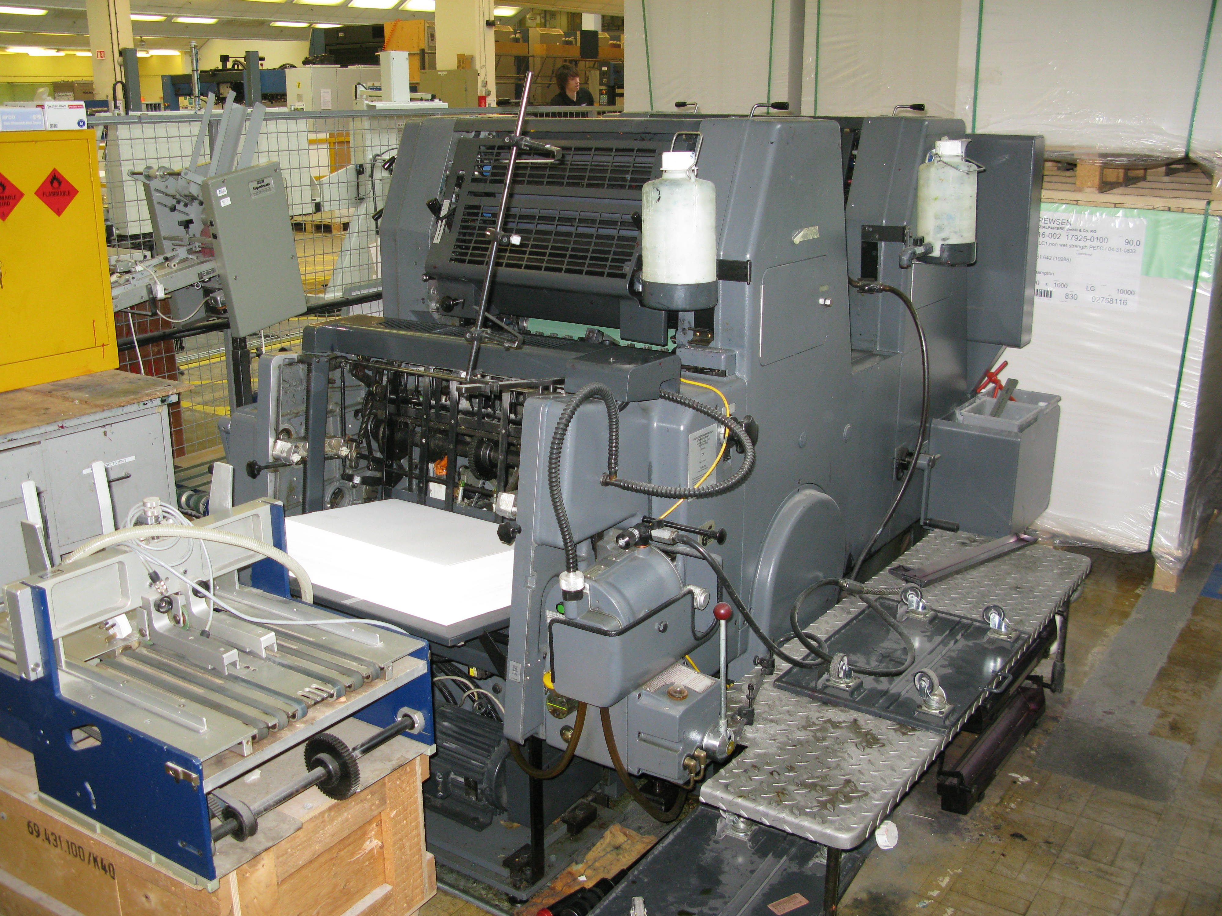
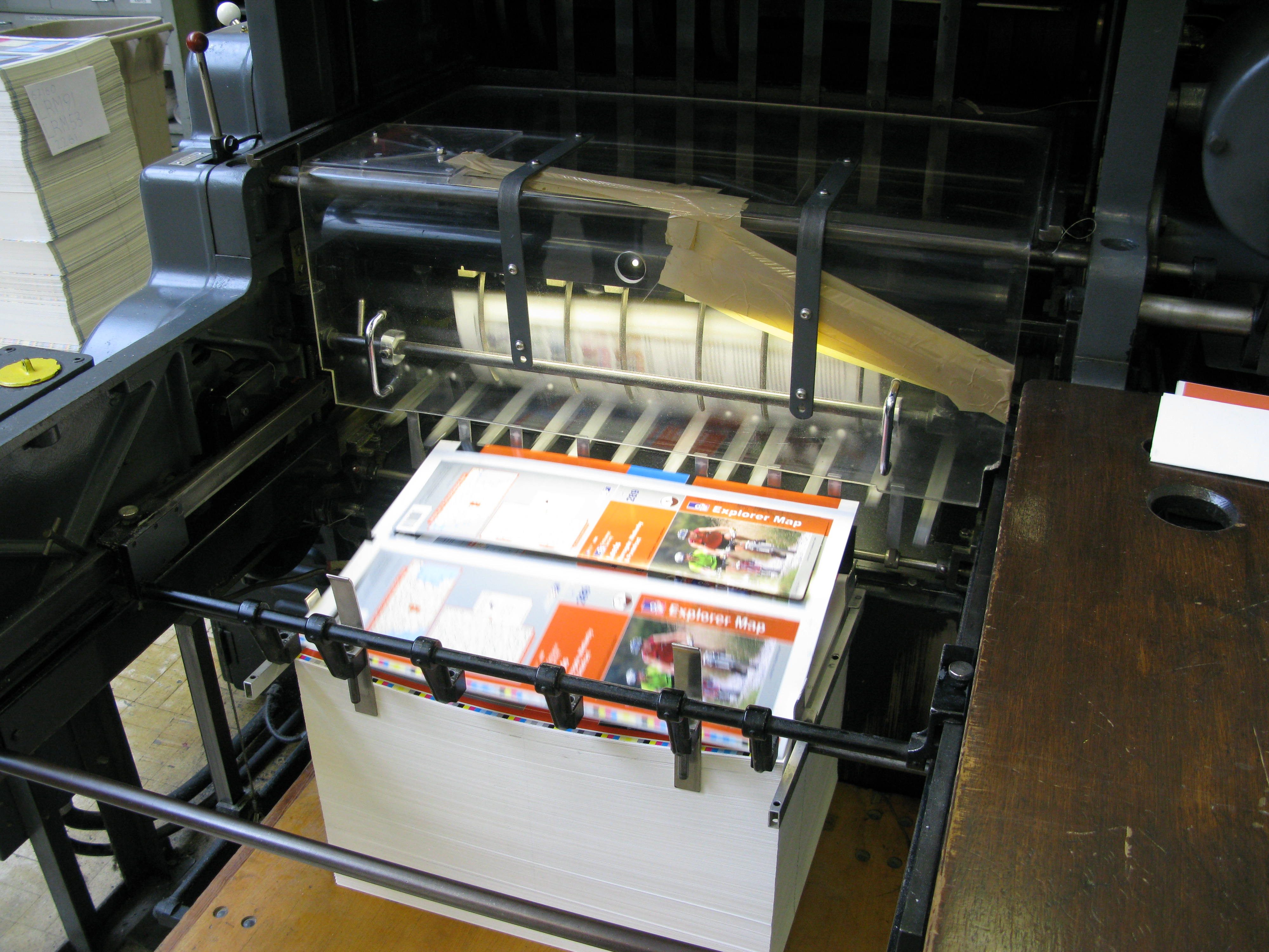
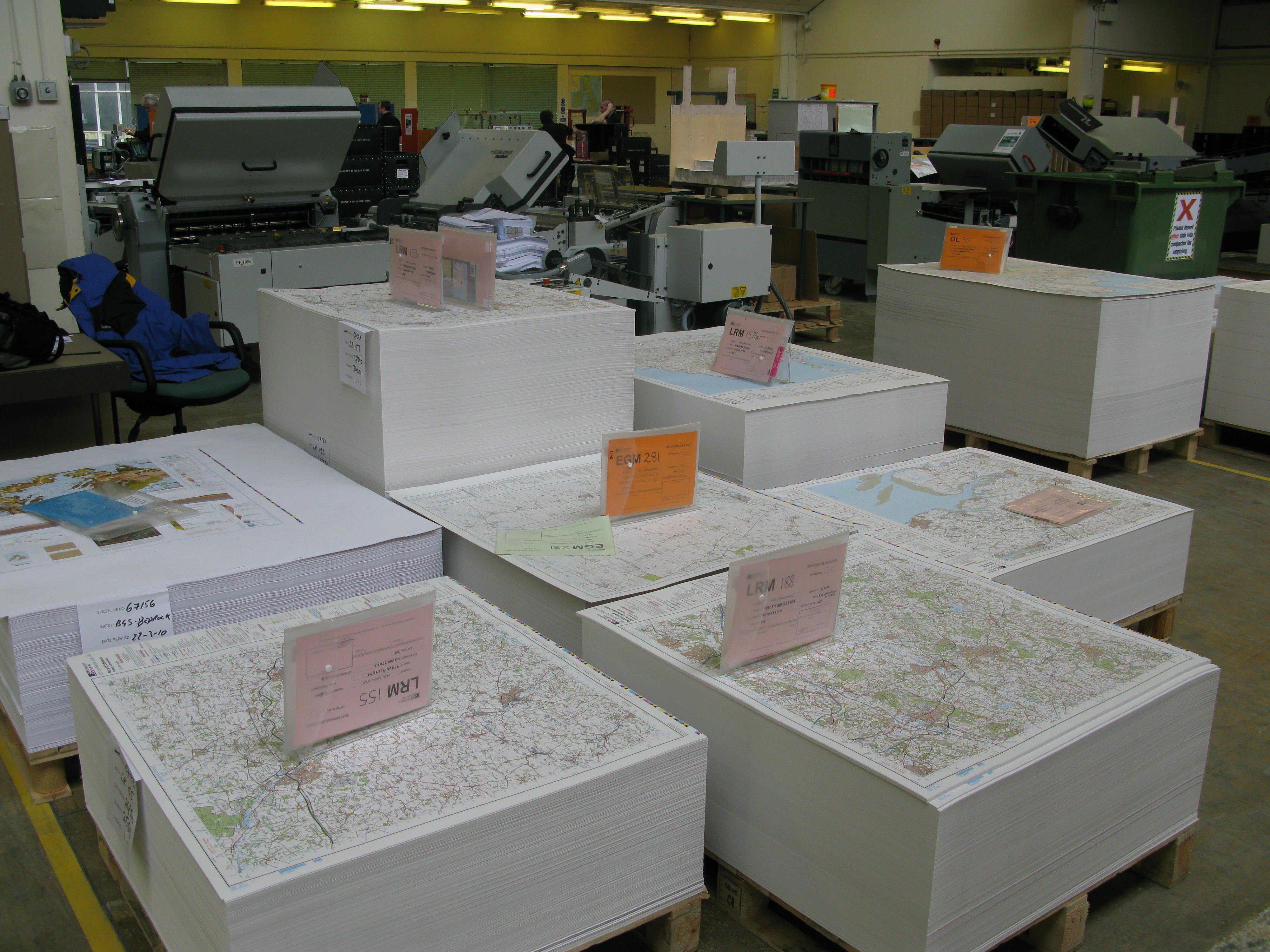
Print Finishing was originally called ‘Map Mounting’ and was located on the ground floor of West Block. At some point after that, this was relocated to the back of the print floor. Print Finishing involves cutting, folding and casing of maps and has a separate page.

Rear of the Nebiolo printing press? 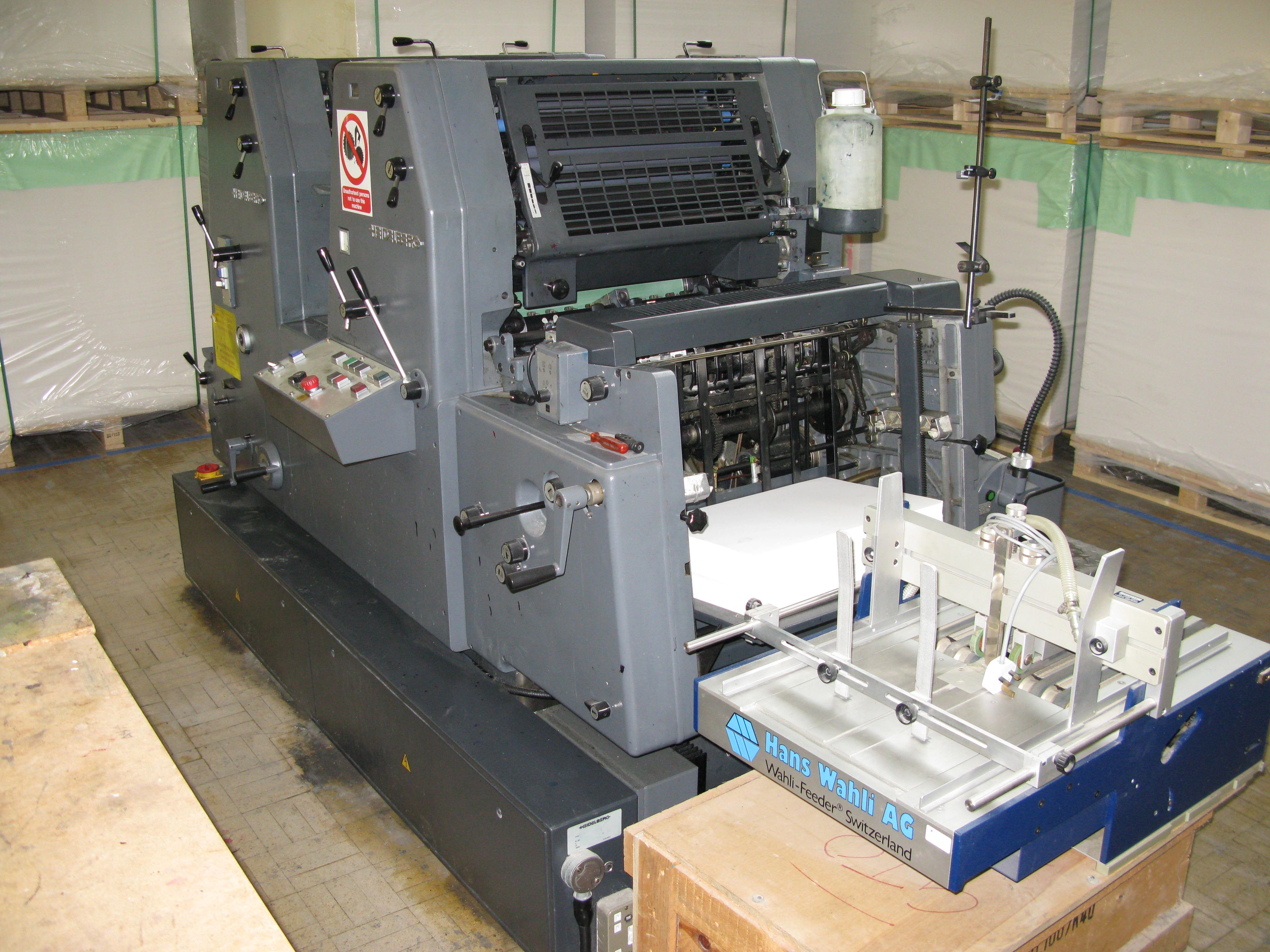
Maybush historical Printing
Most of the OS printing presses in the 1960s were made by Crabtree (not to be confused with Crabwood), a British company that is still going strong, and in fact the only British manufacturer of sheet-fed offset machines. Their website has photos and documentation about these stylish historic machines.
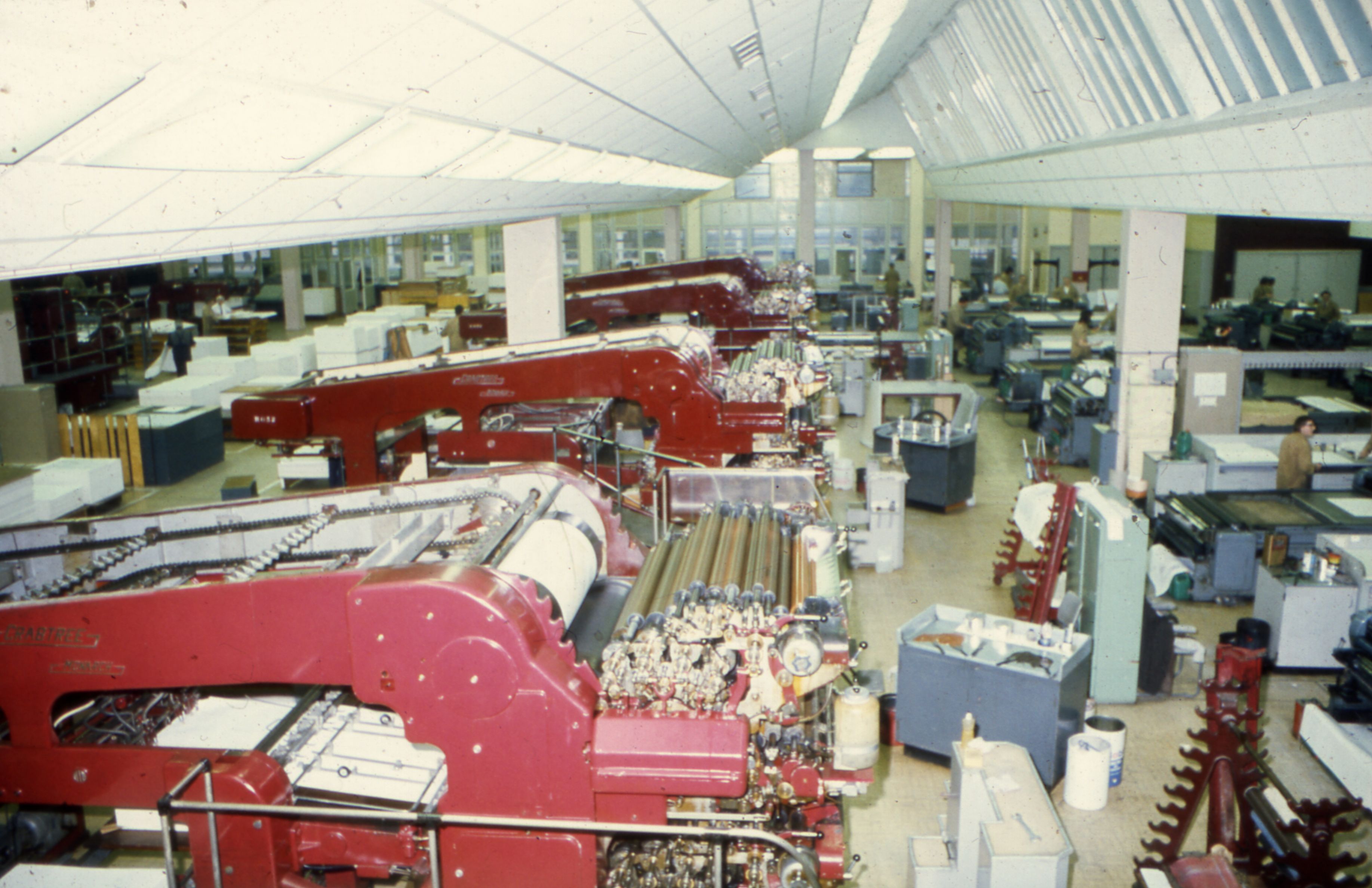
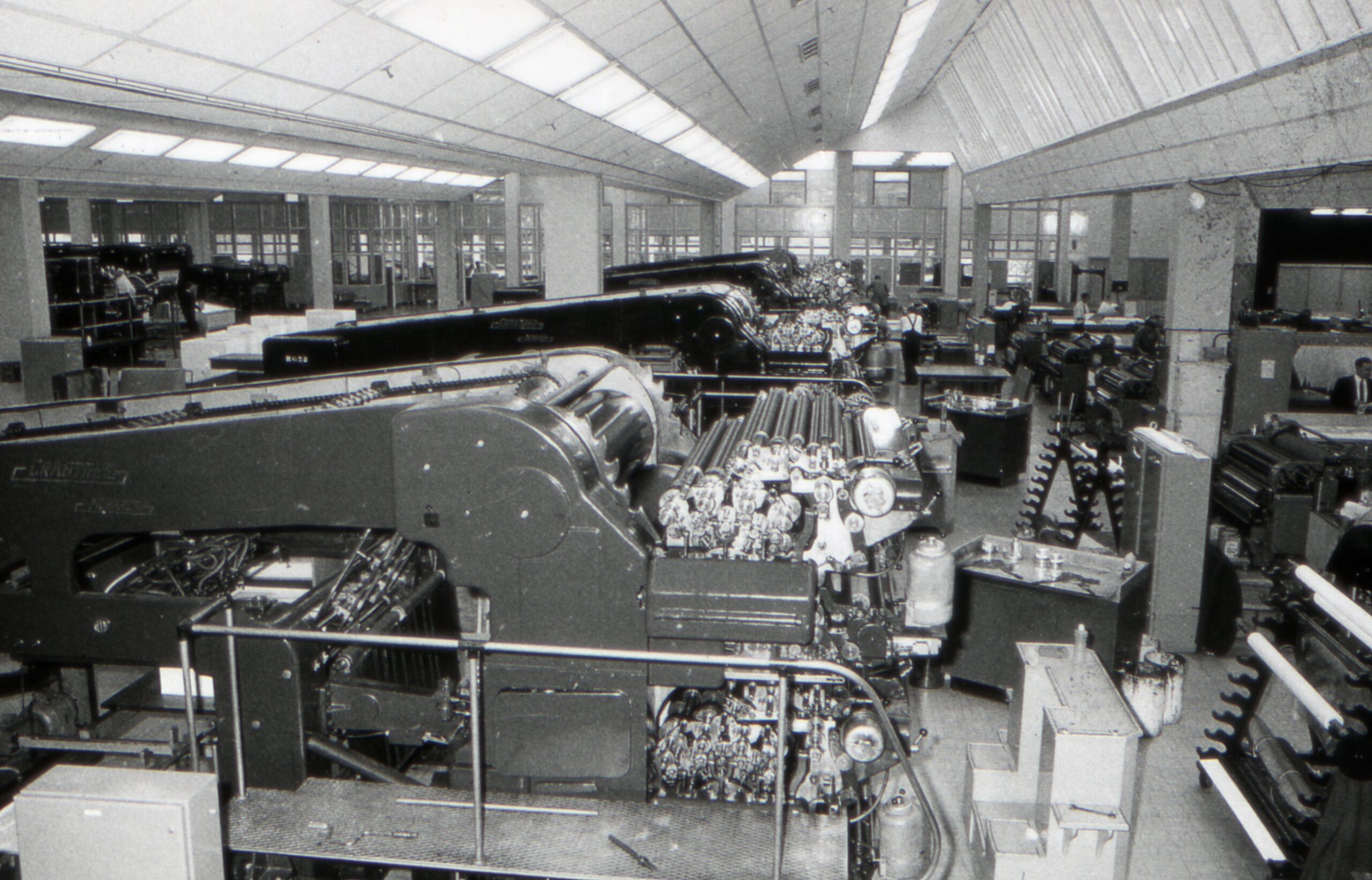
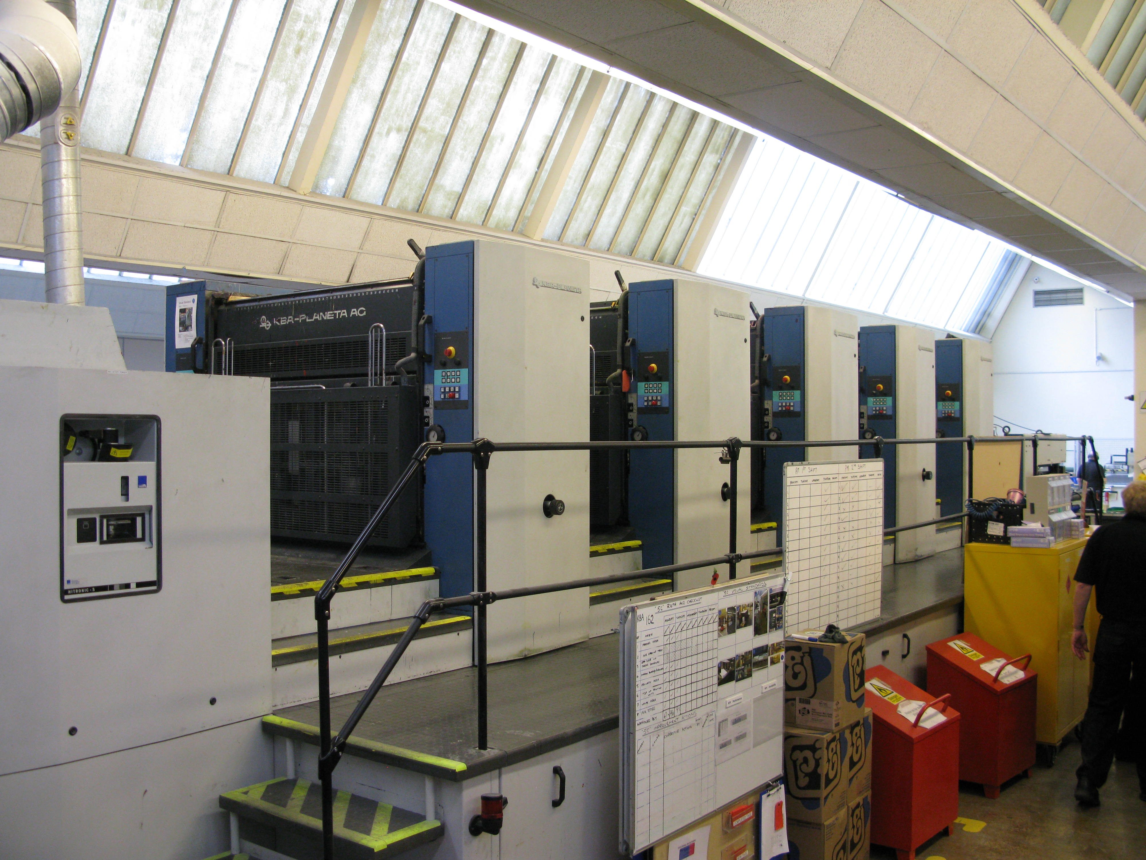
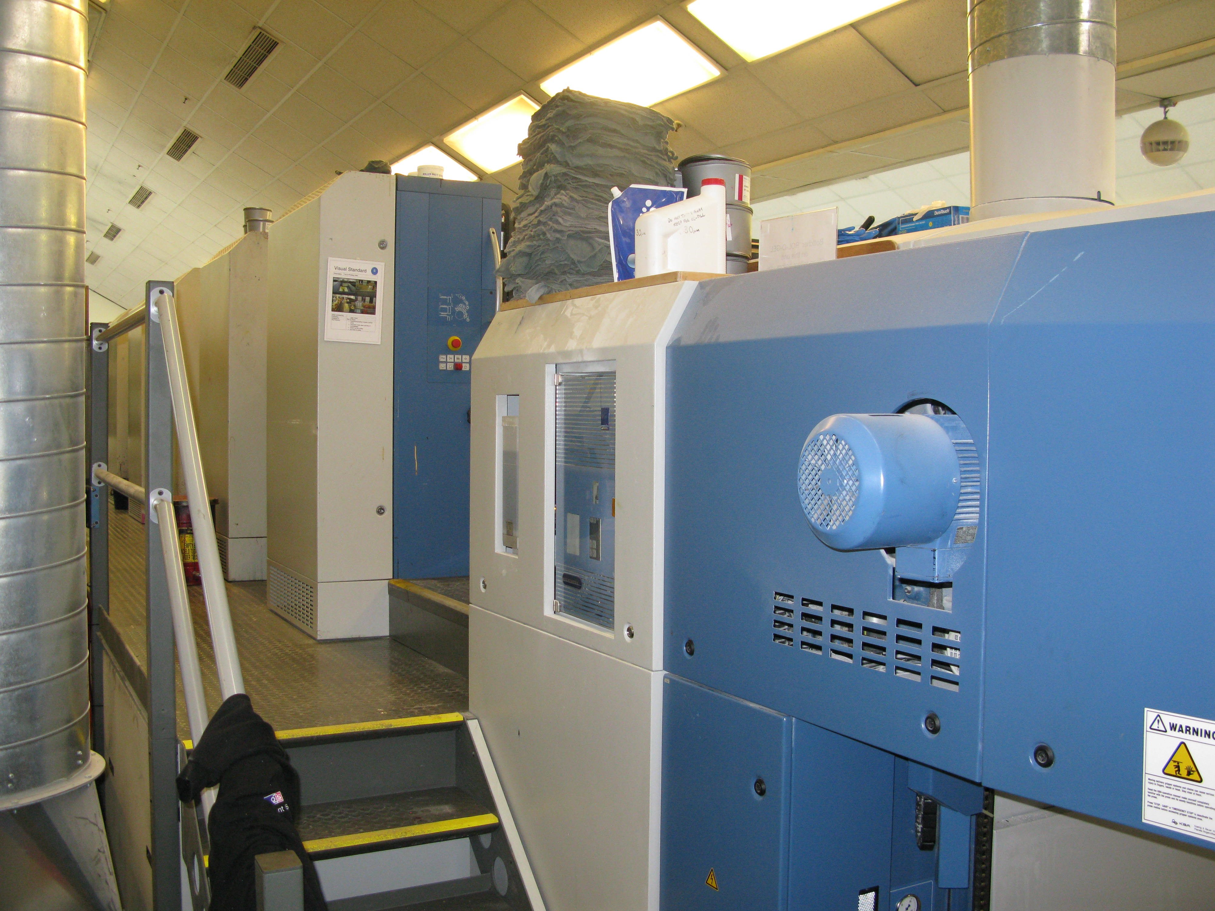
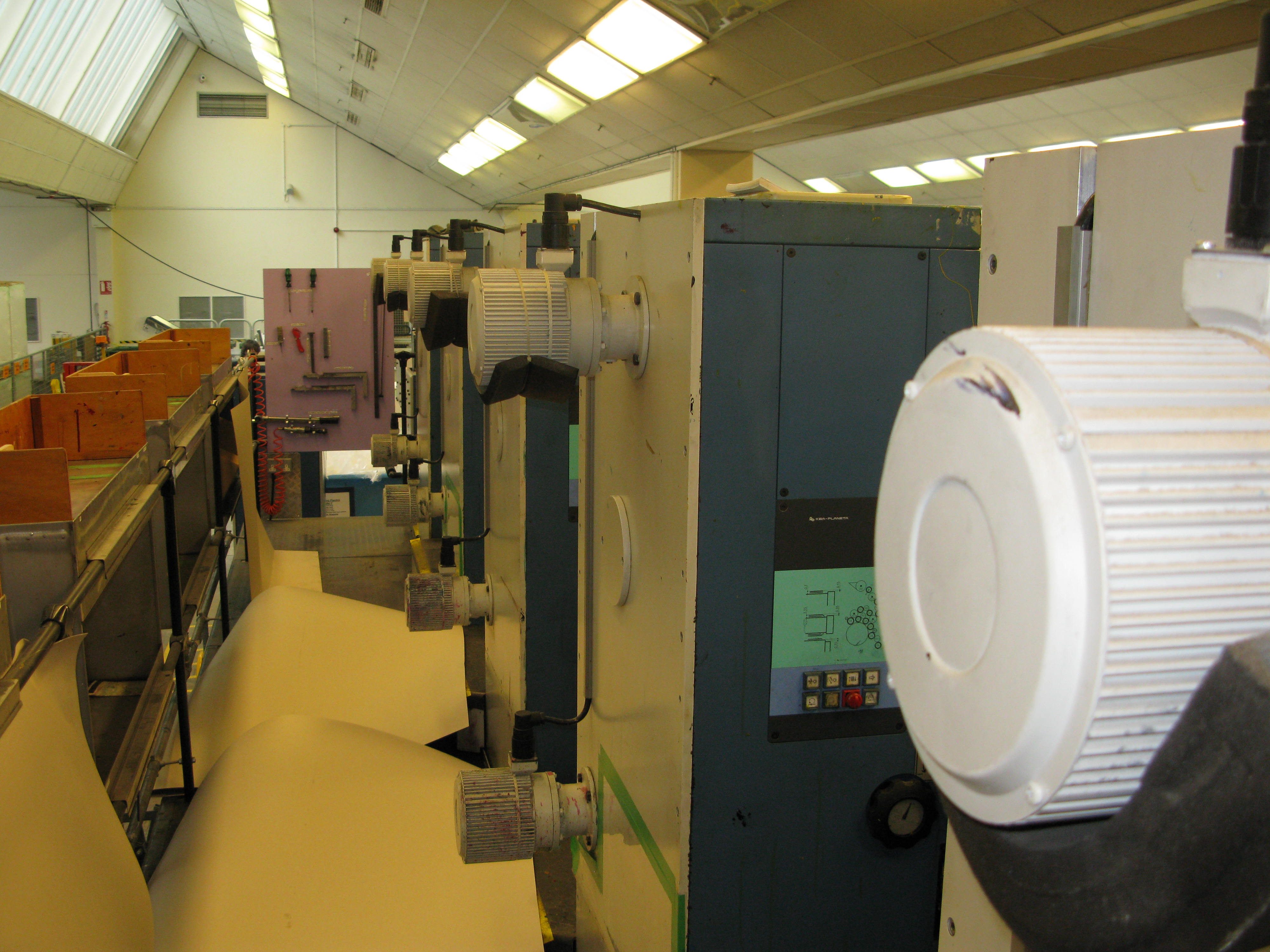
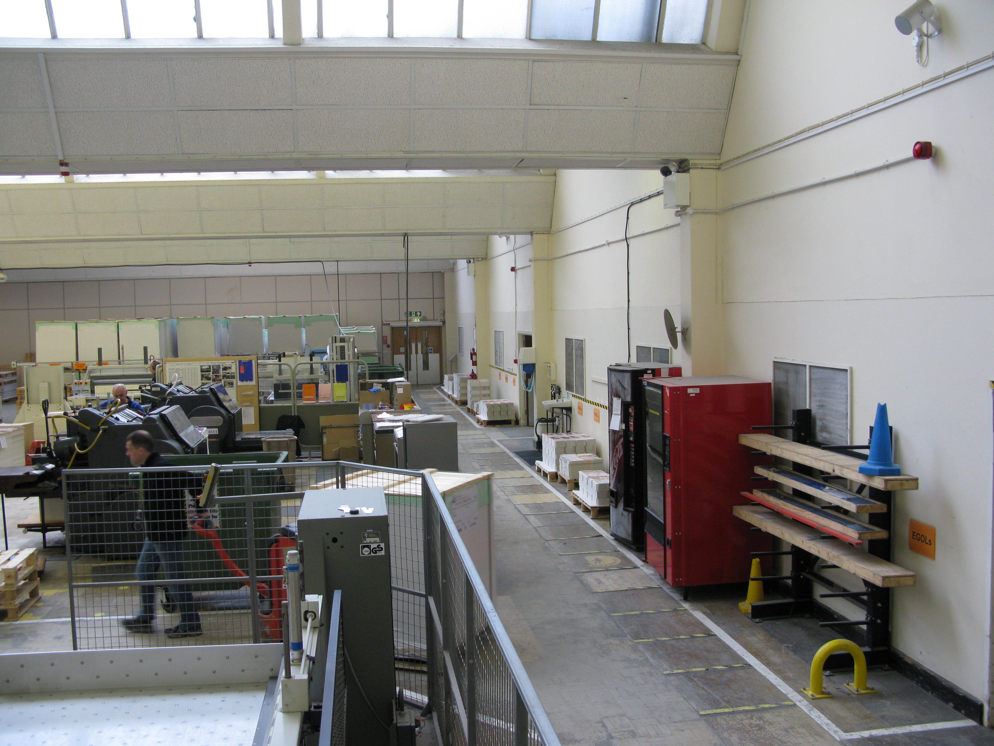
High-level view of one bay of the Print Floor 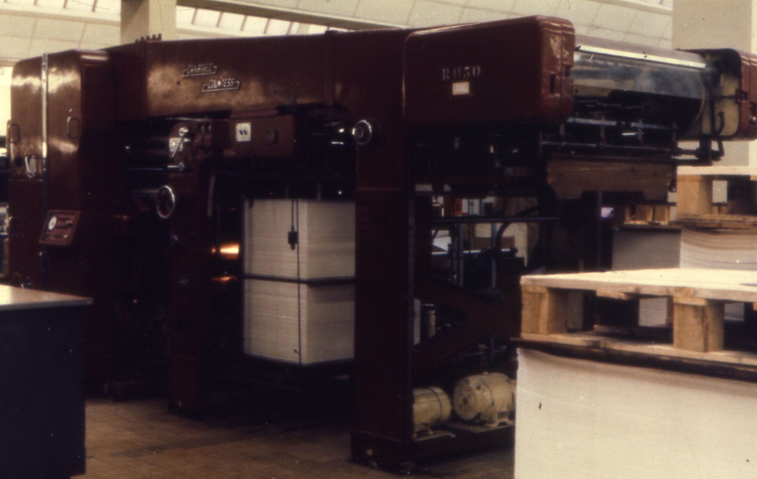
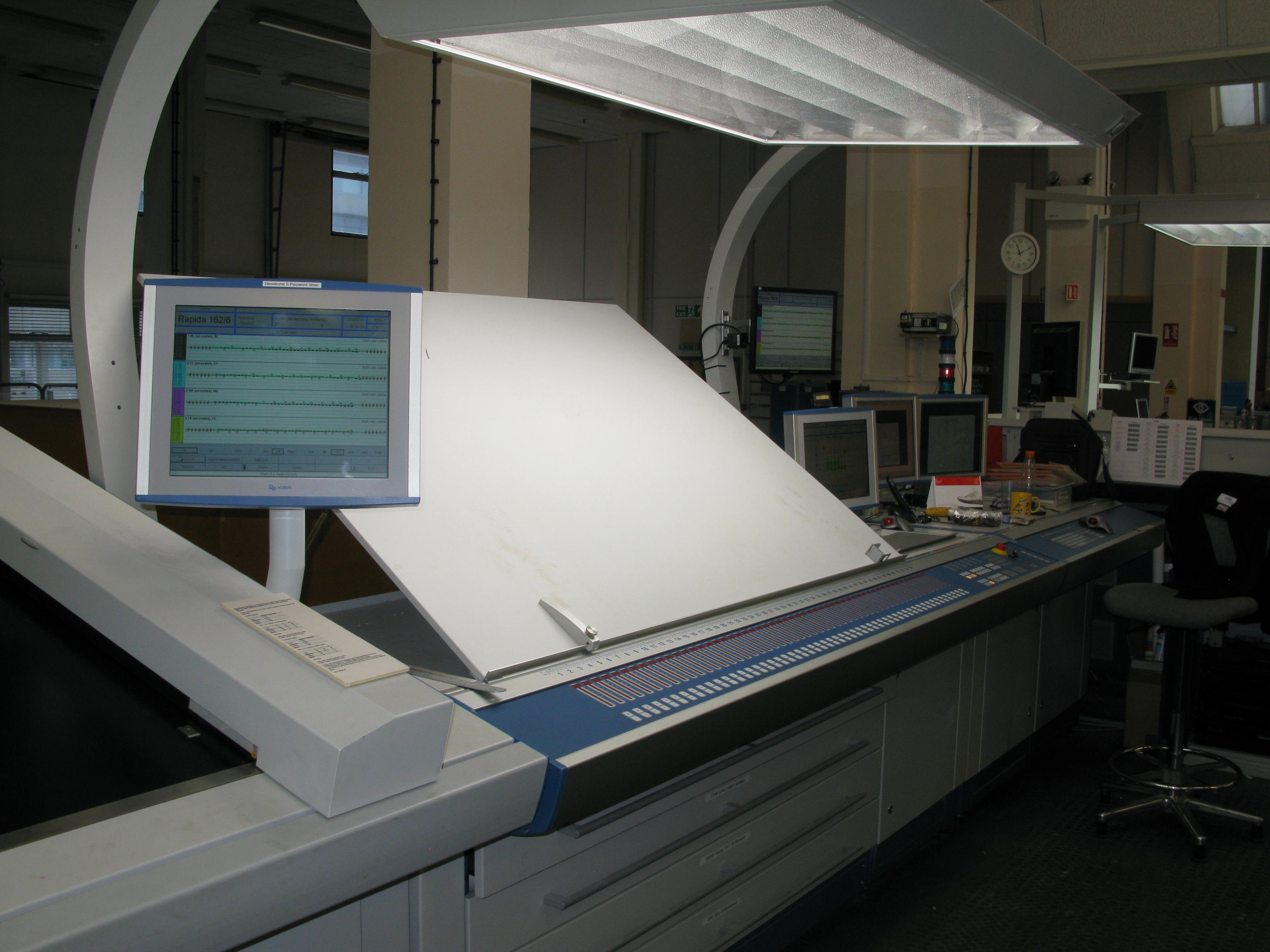
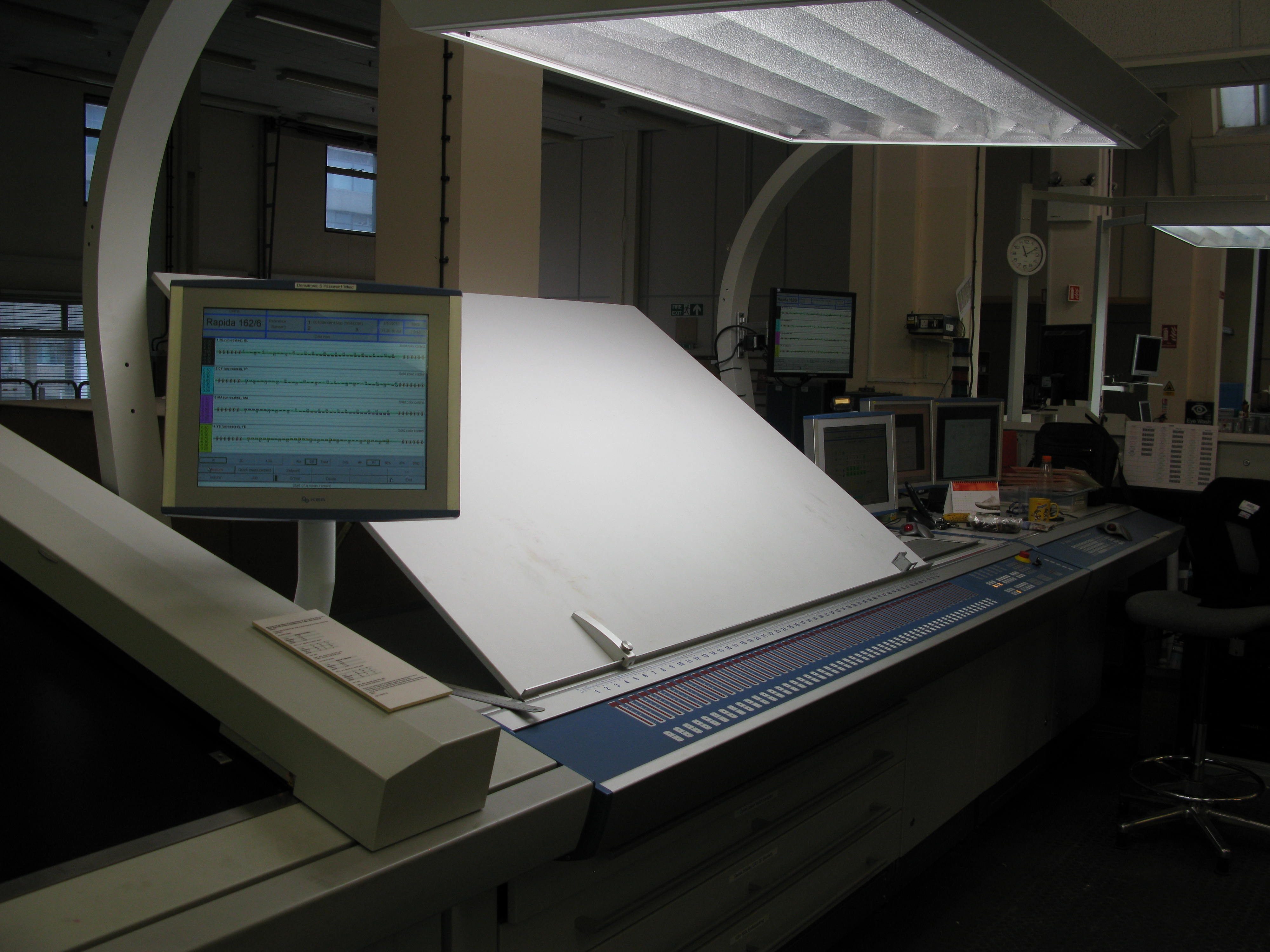
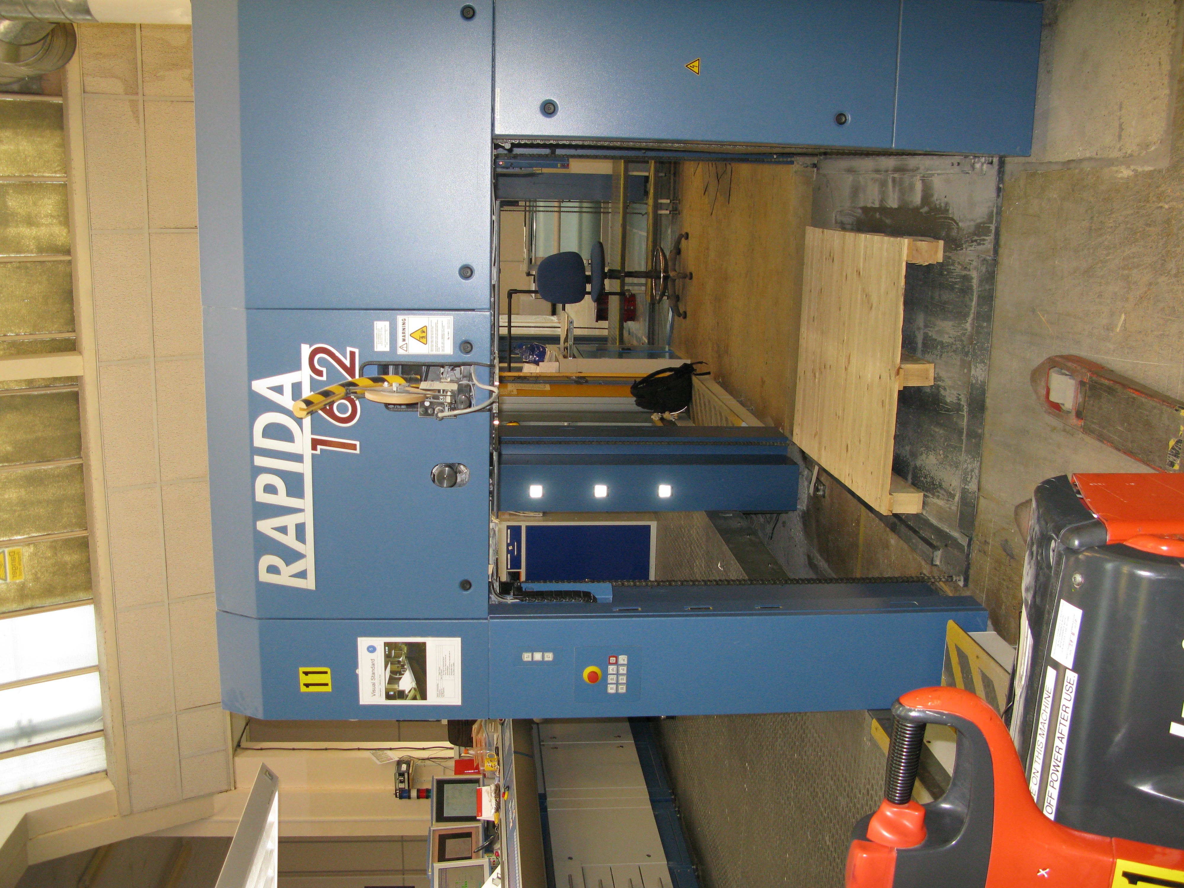
Crabtree Countess printing press 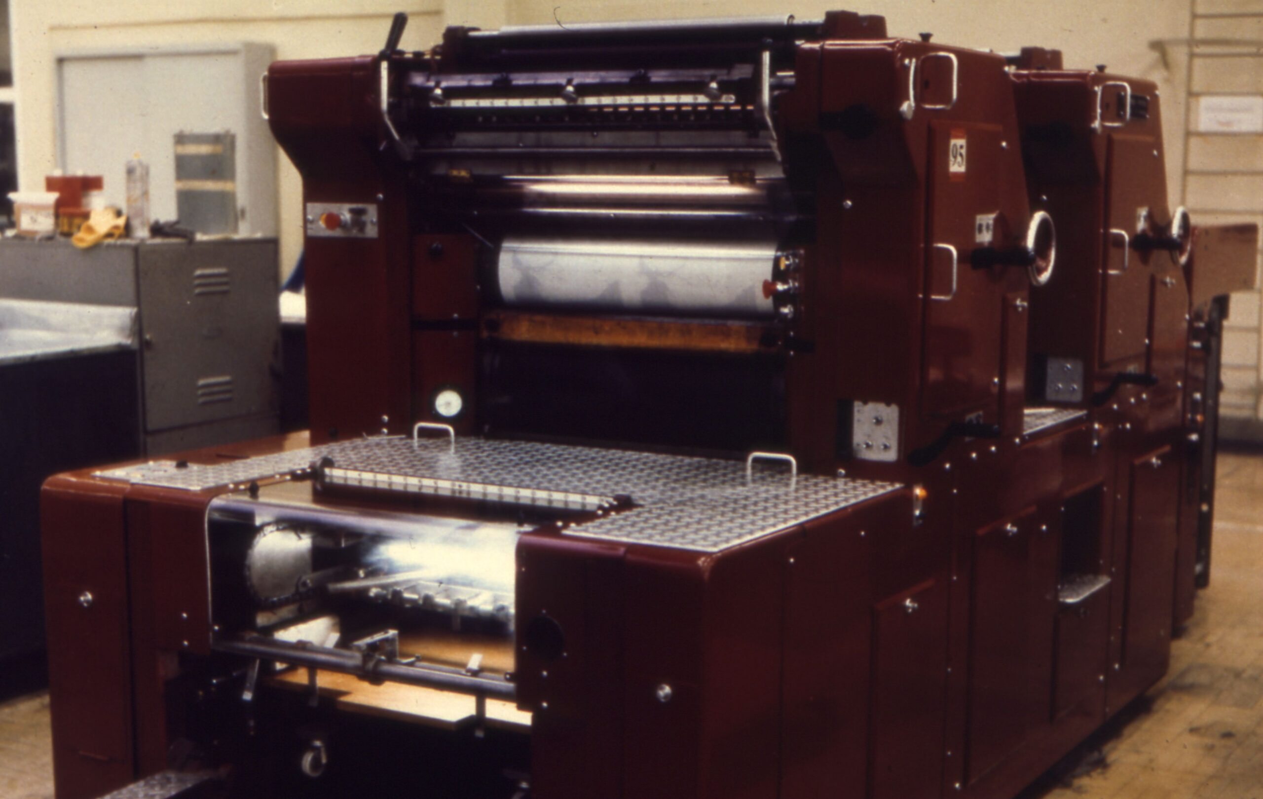
Small printing press at Maybush 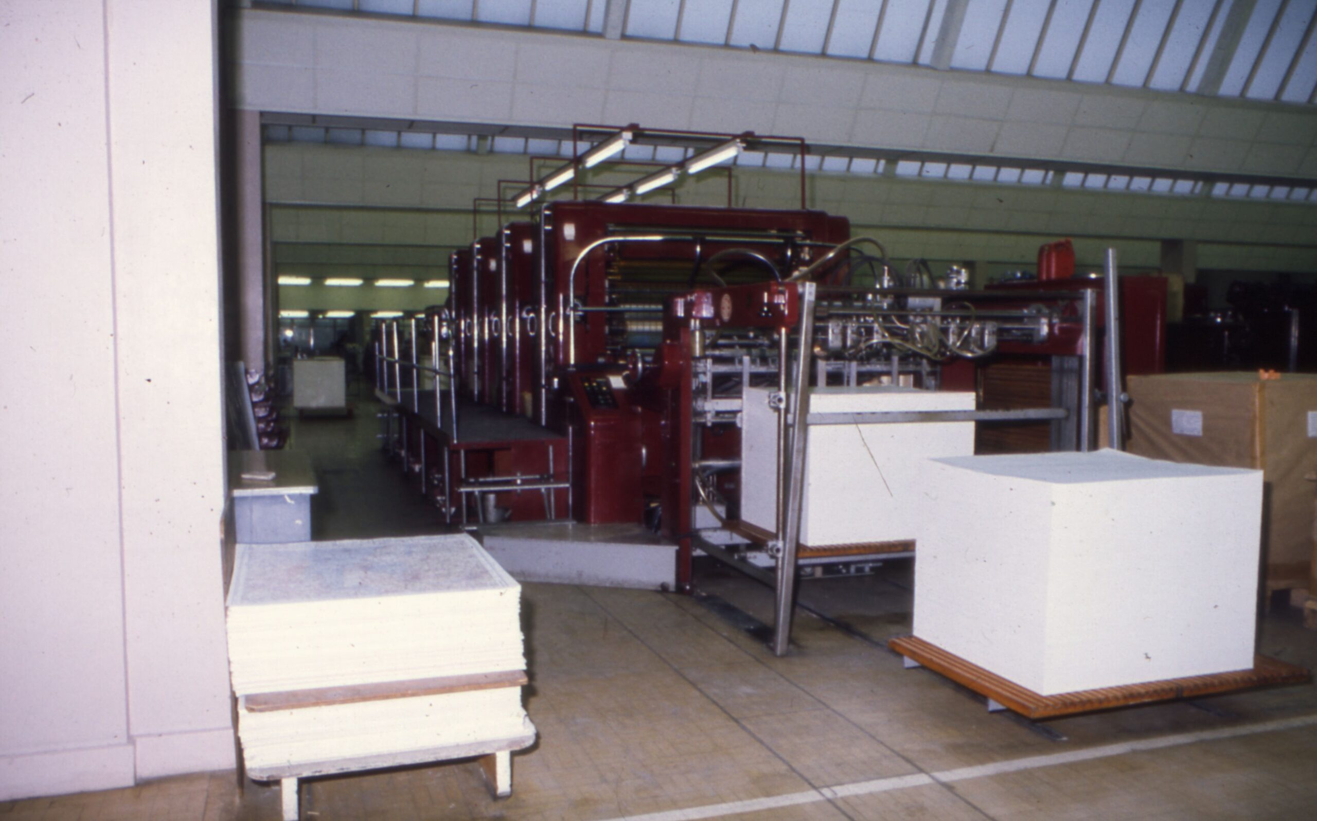
Crabtree printing press 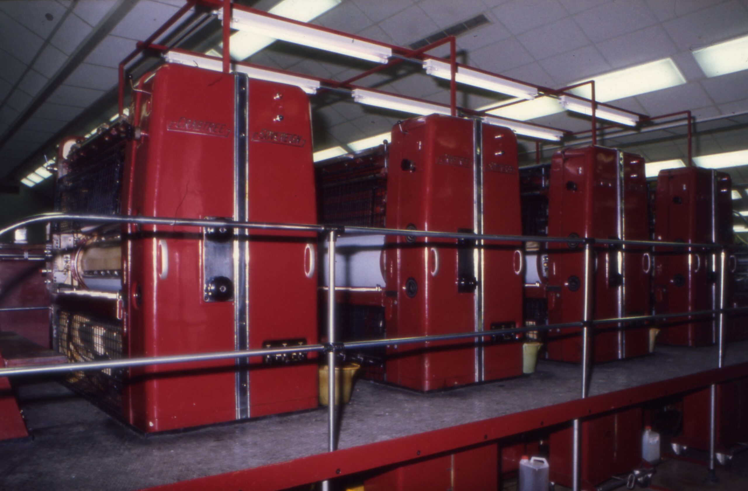
Crabtree Sovereign printing press 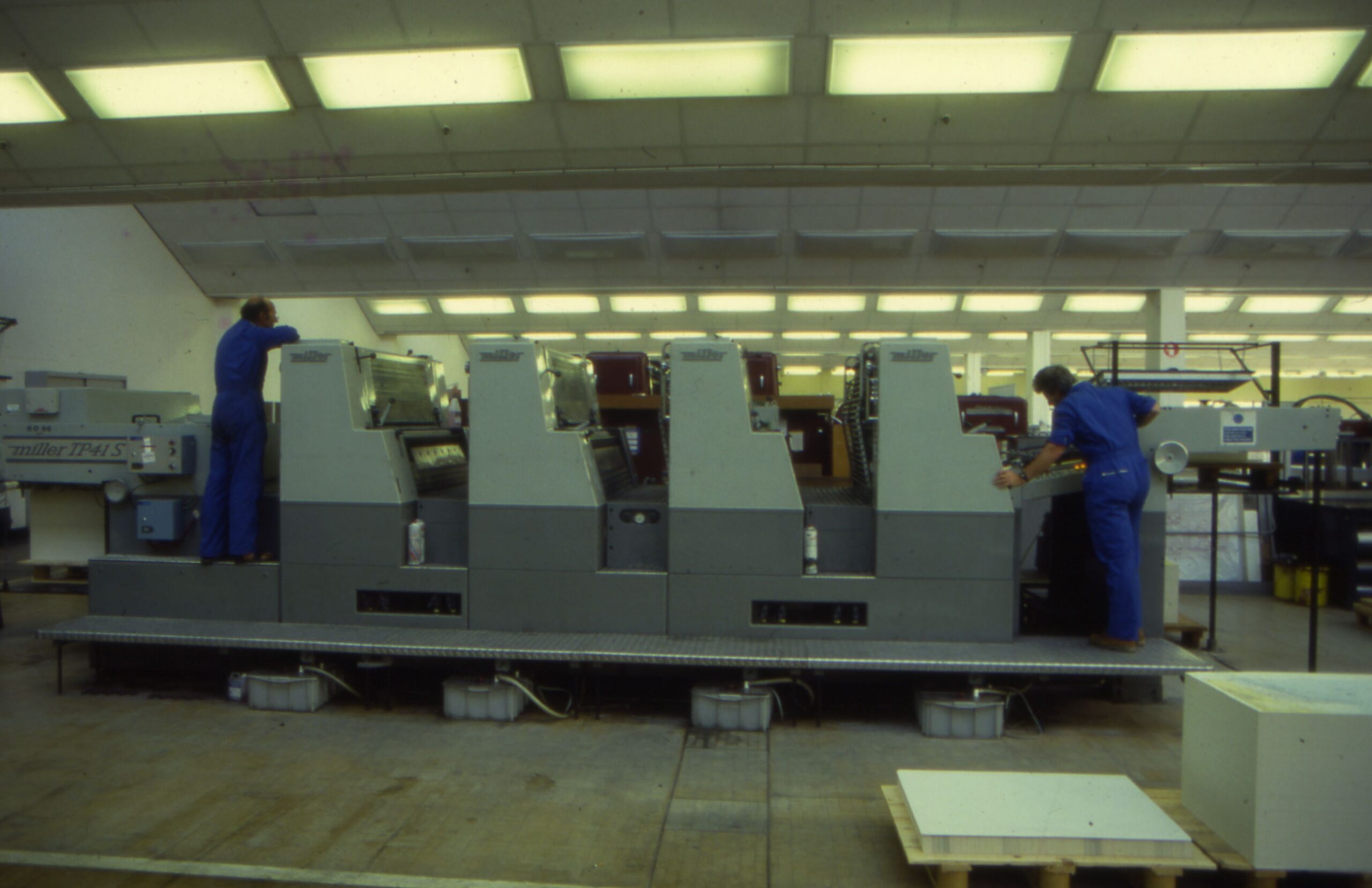
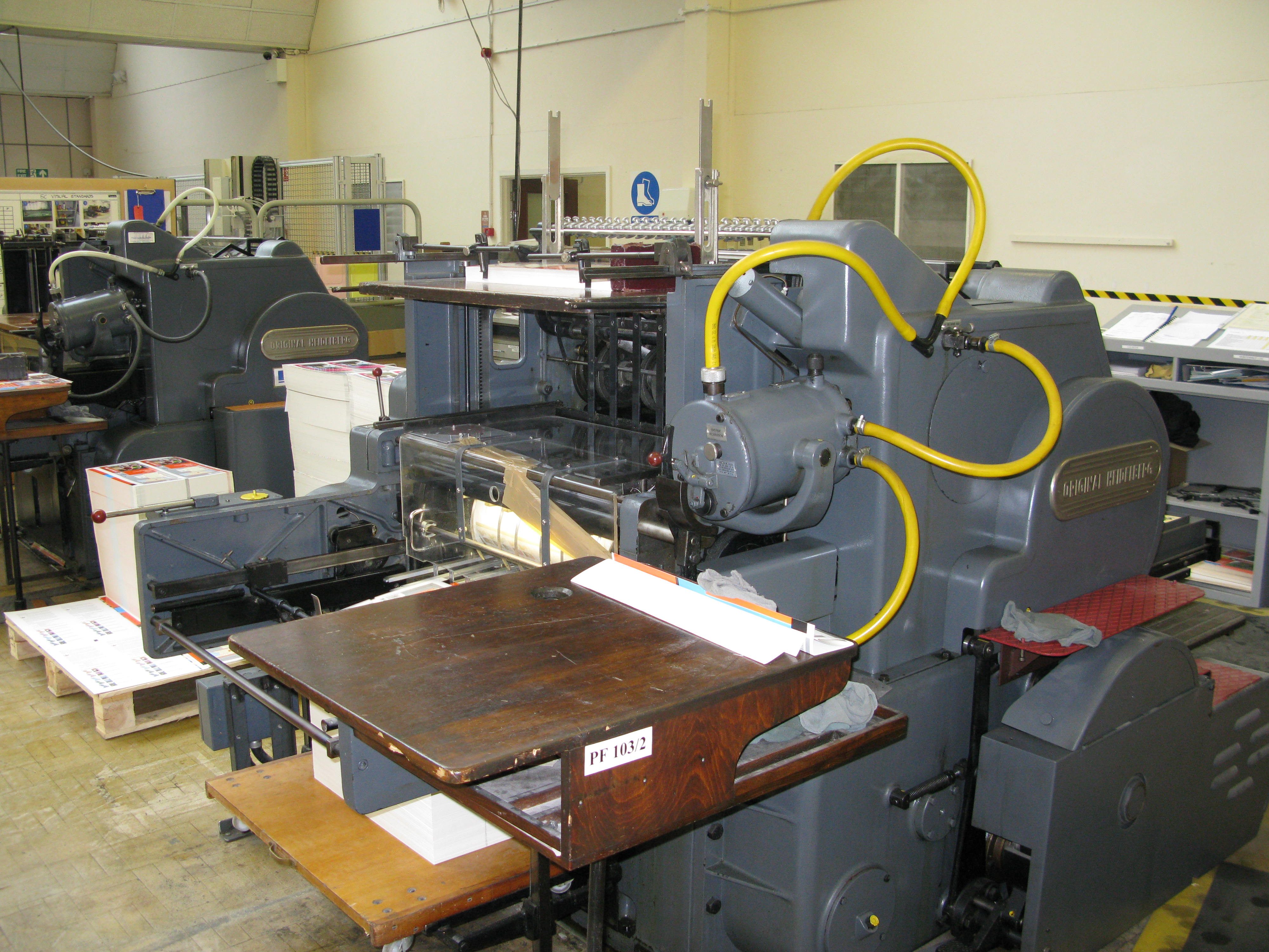
Miller TP41s printing press 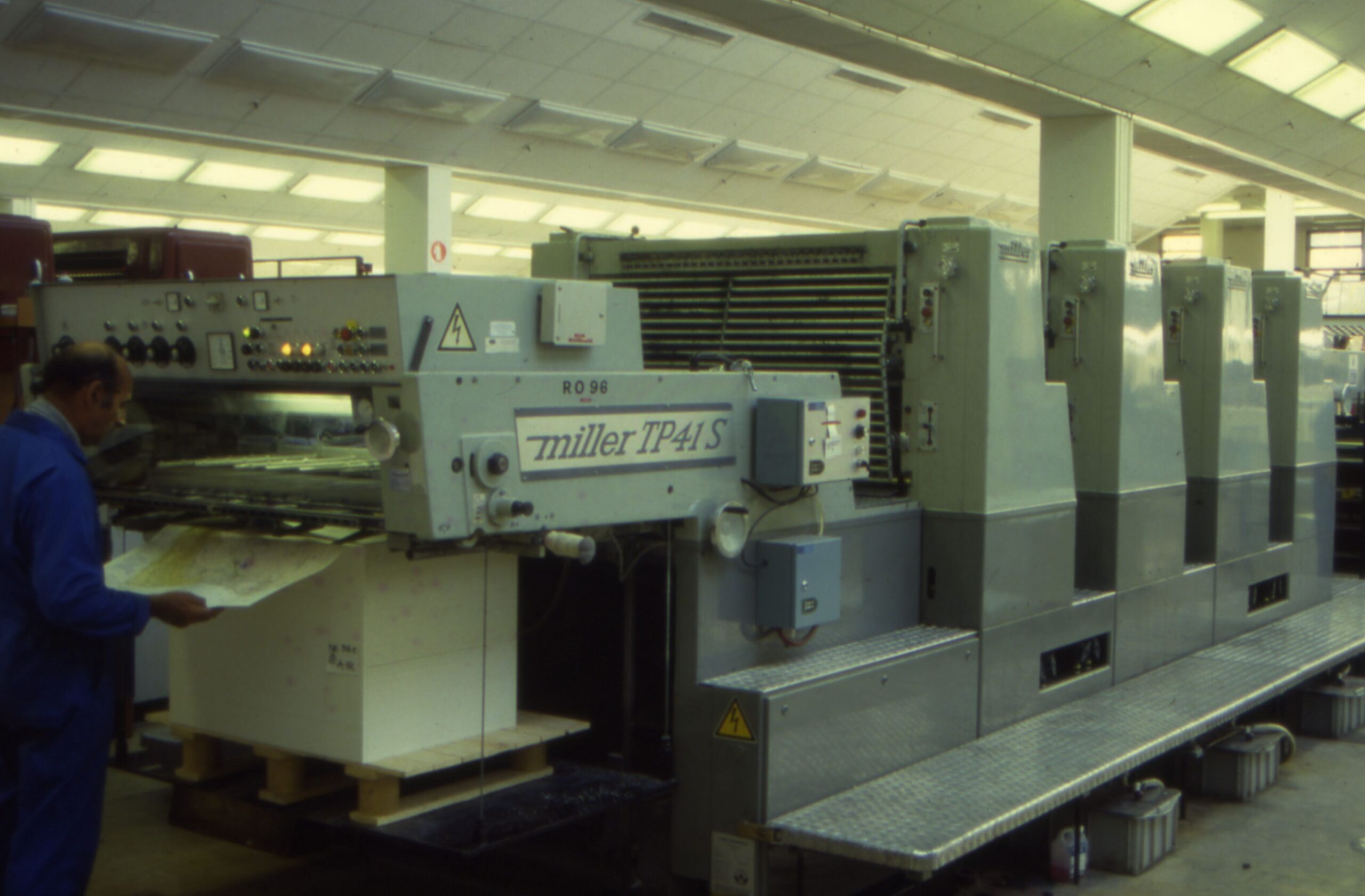
Miller TP41s printing press 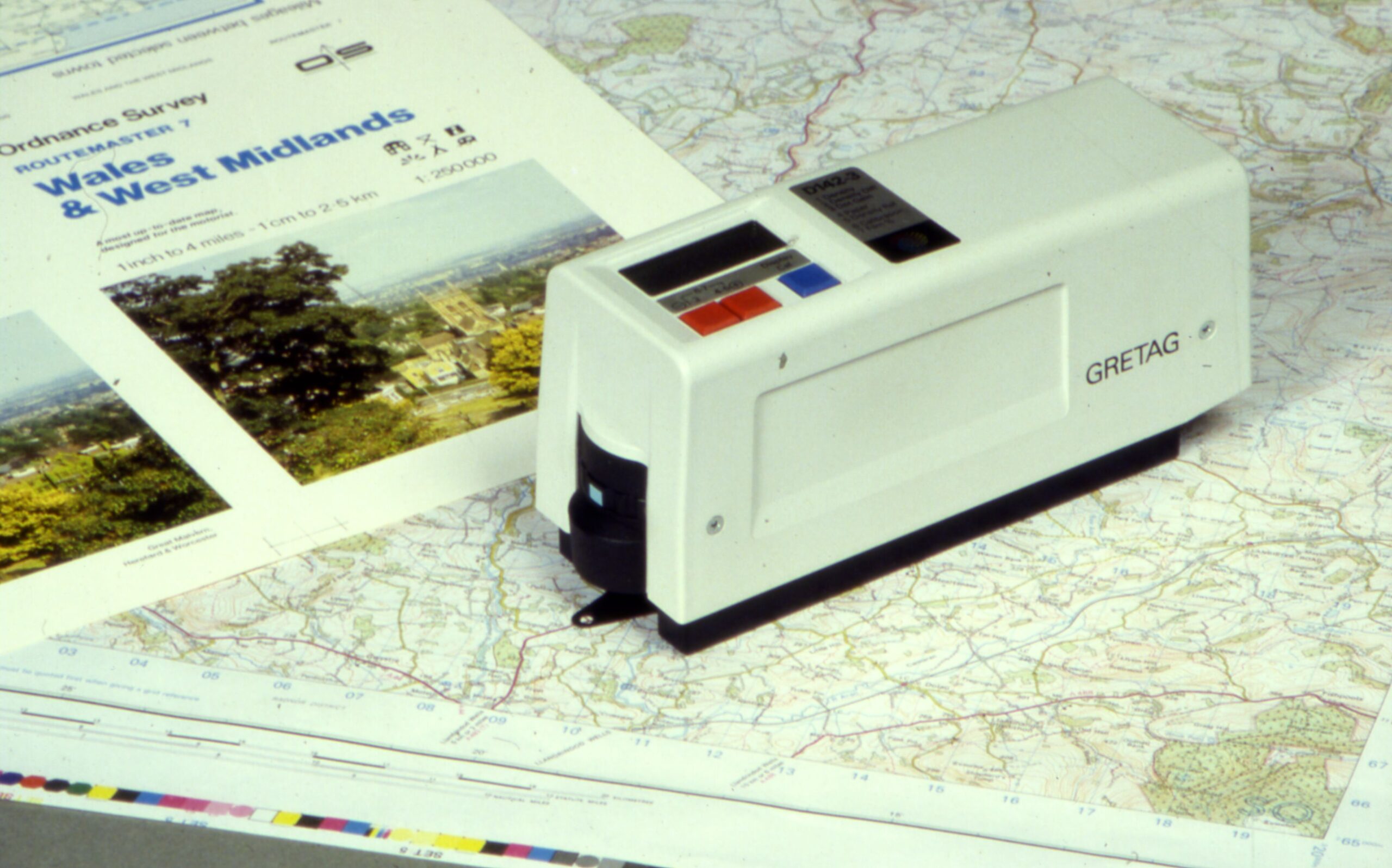
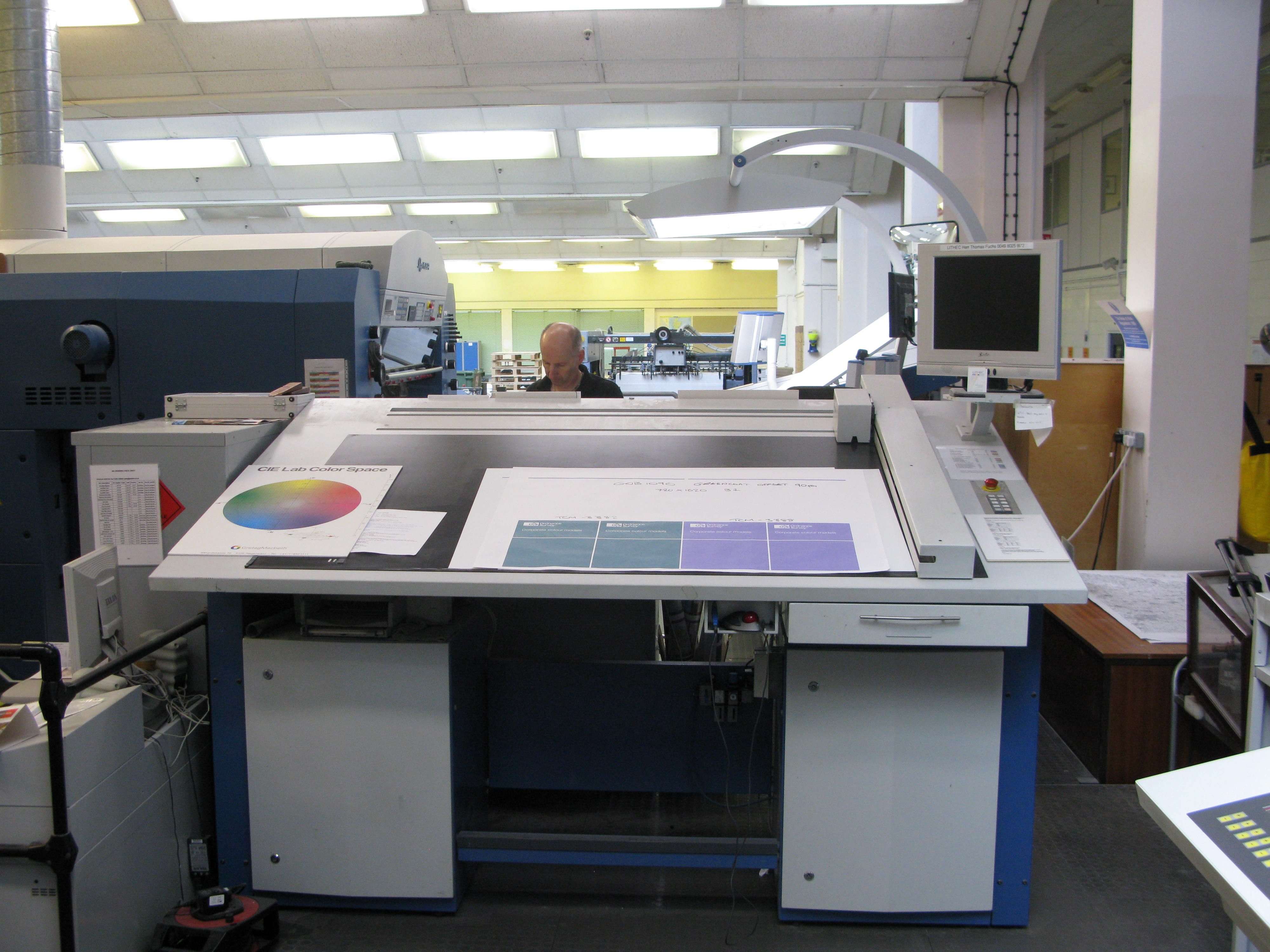
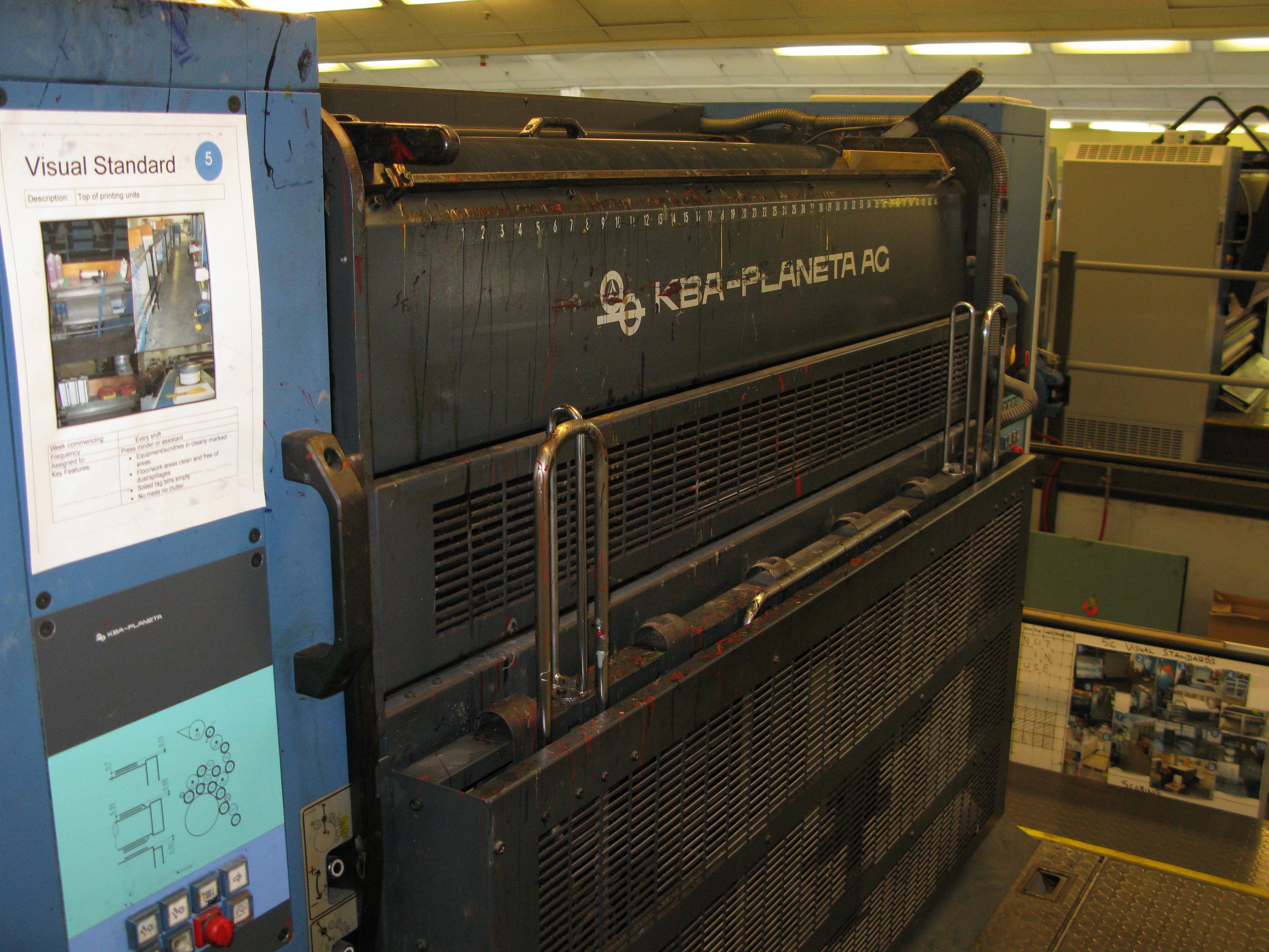
Gretag colour management device 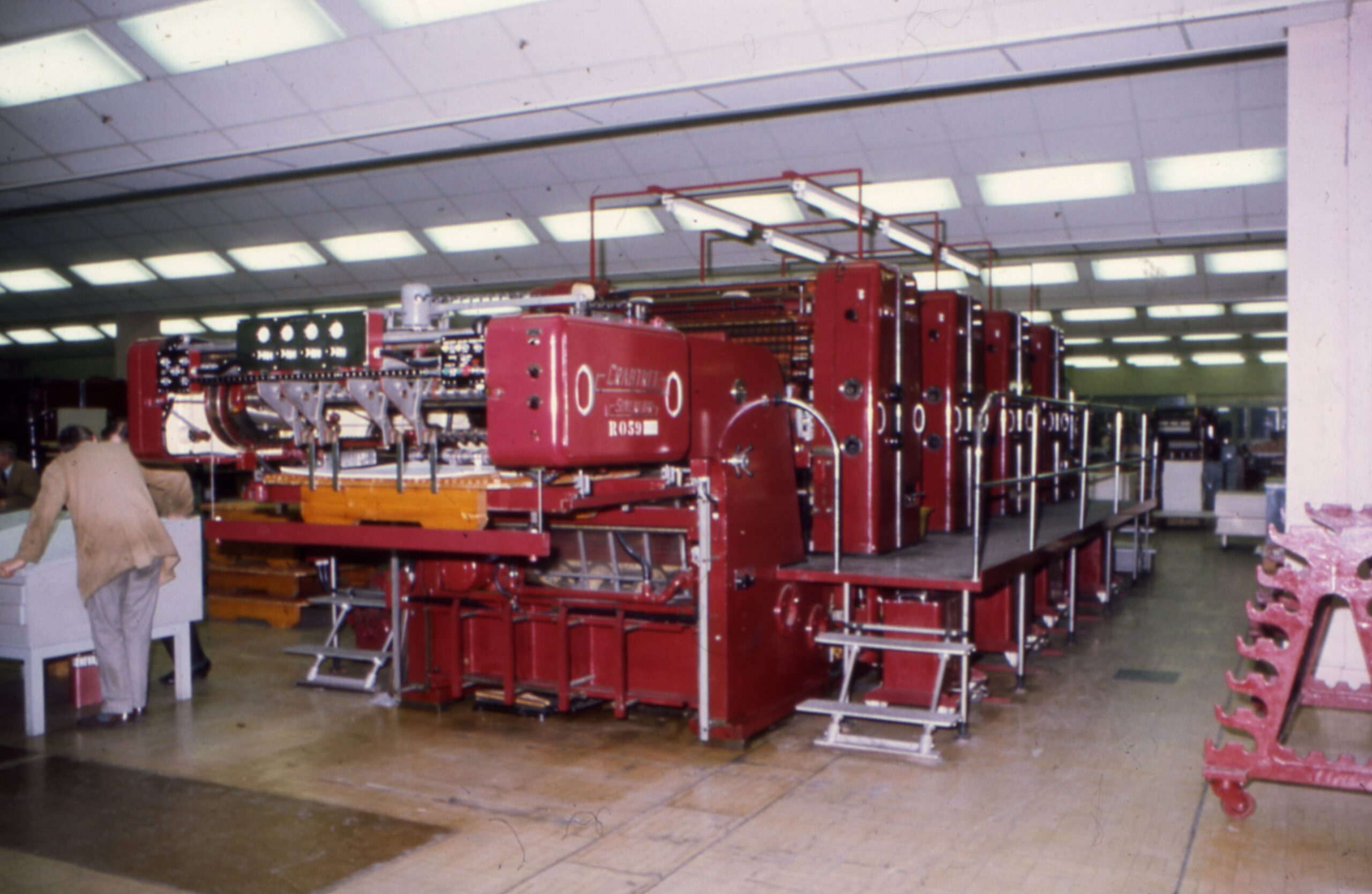
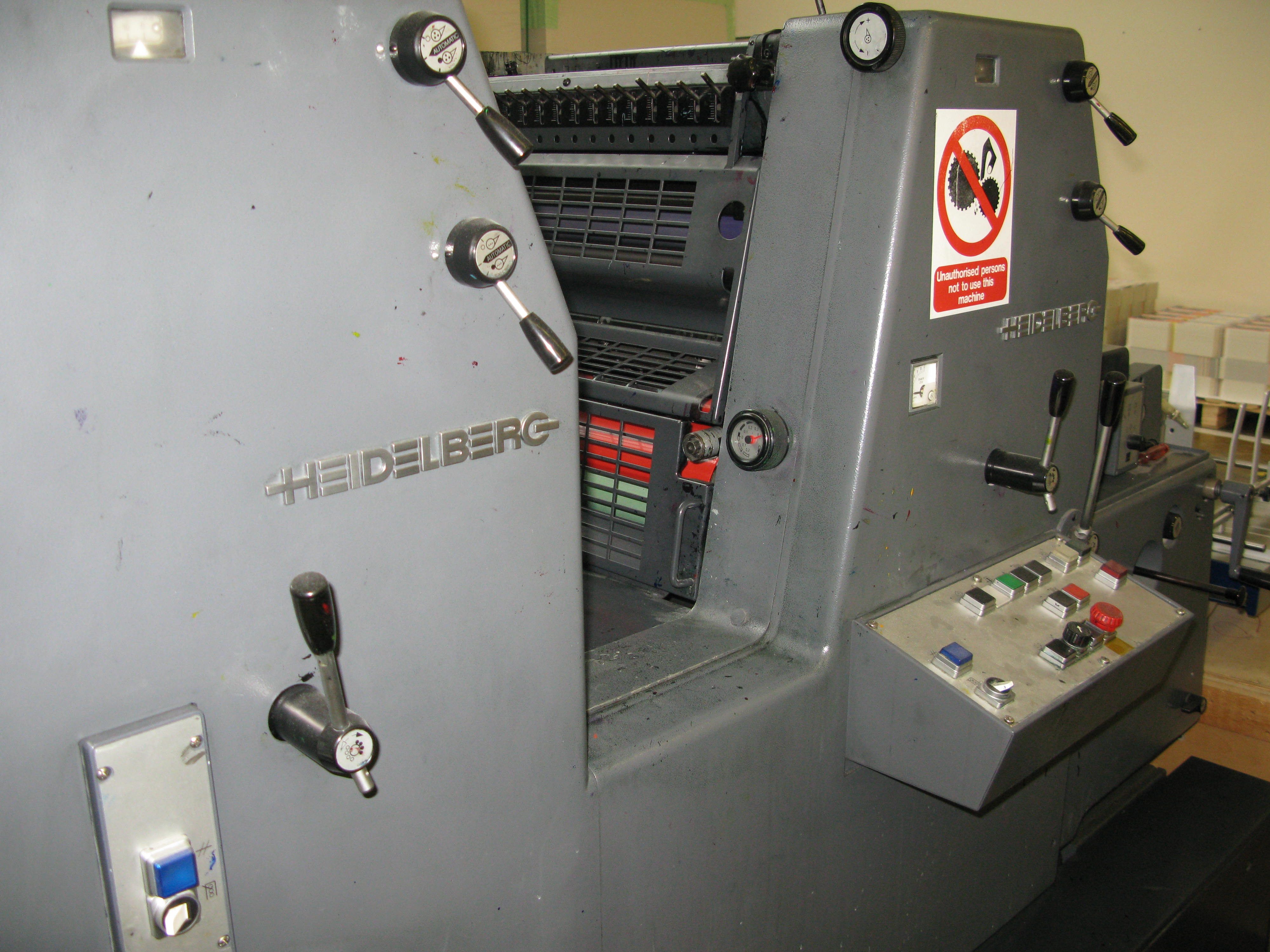
Crabtree Sovereign four-colour printing press, facing SW 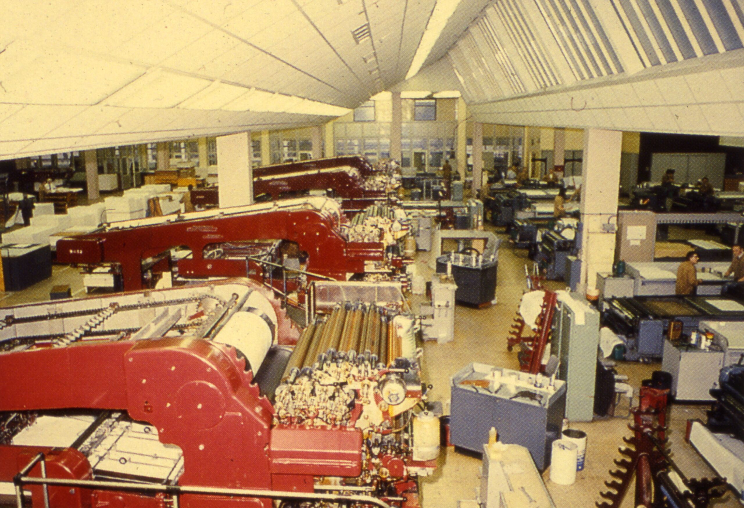
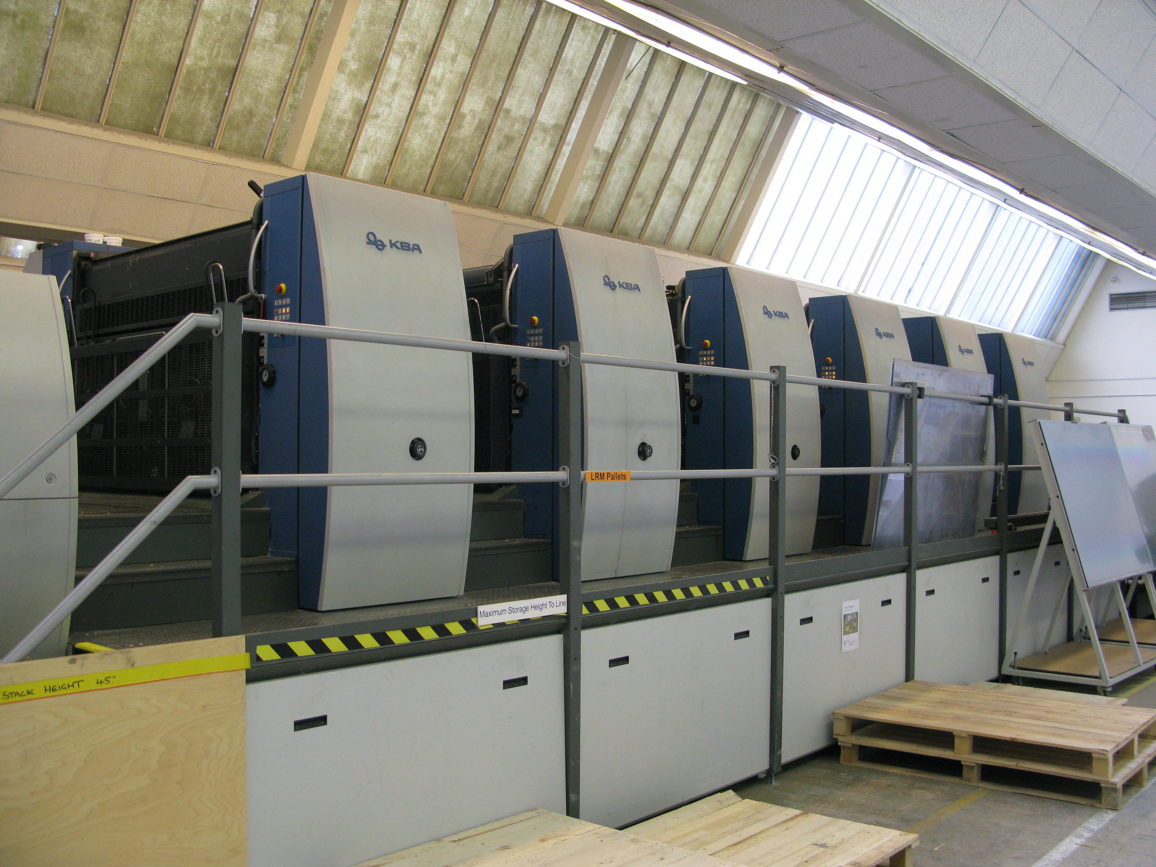
High-level view of one bay of the Print Floor 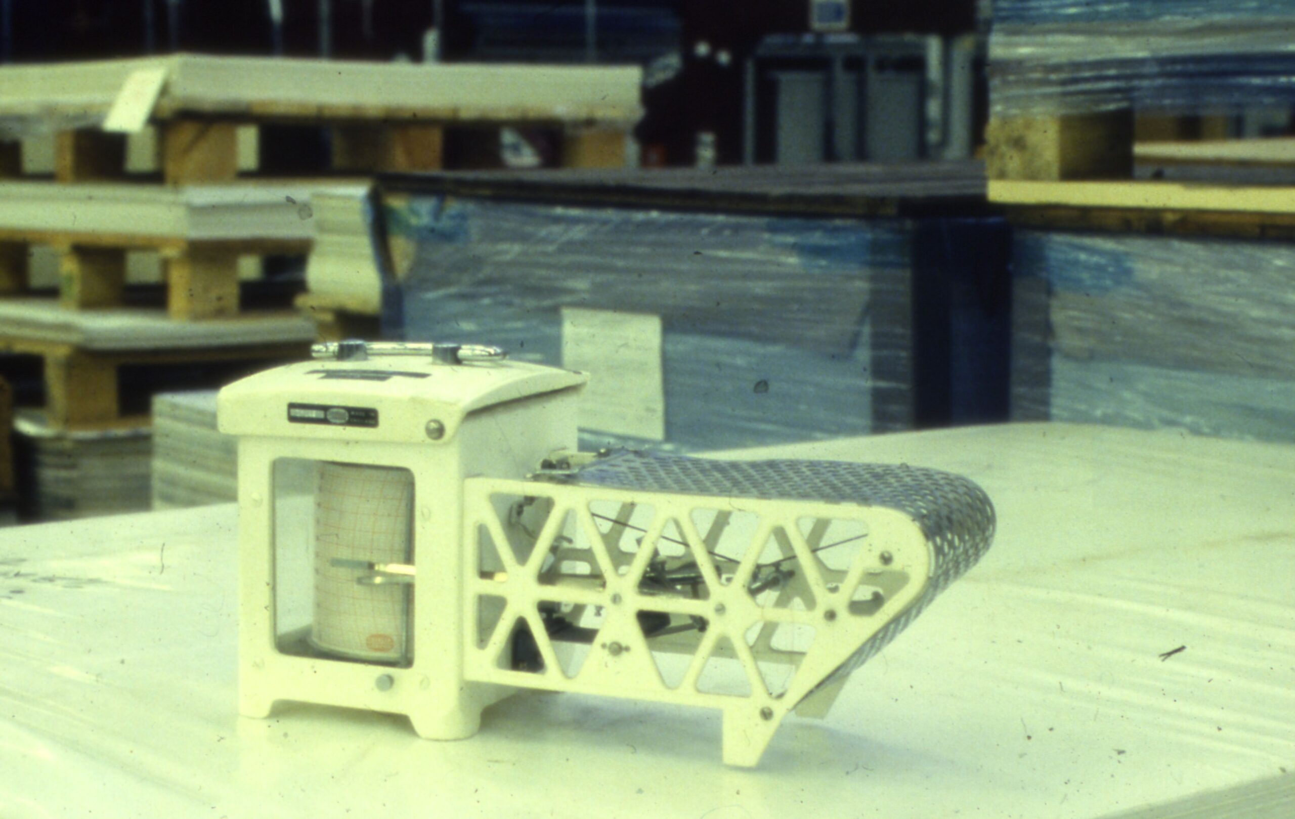
Temperature or humidity sensor/recorder? 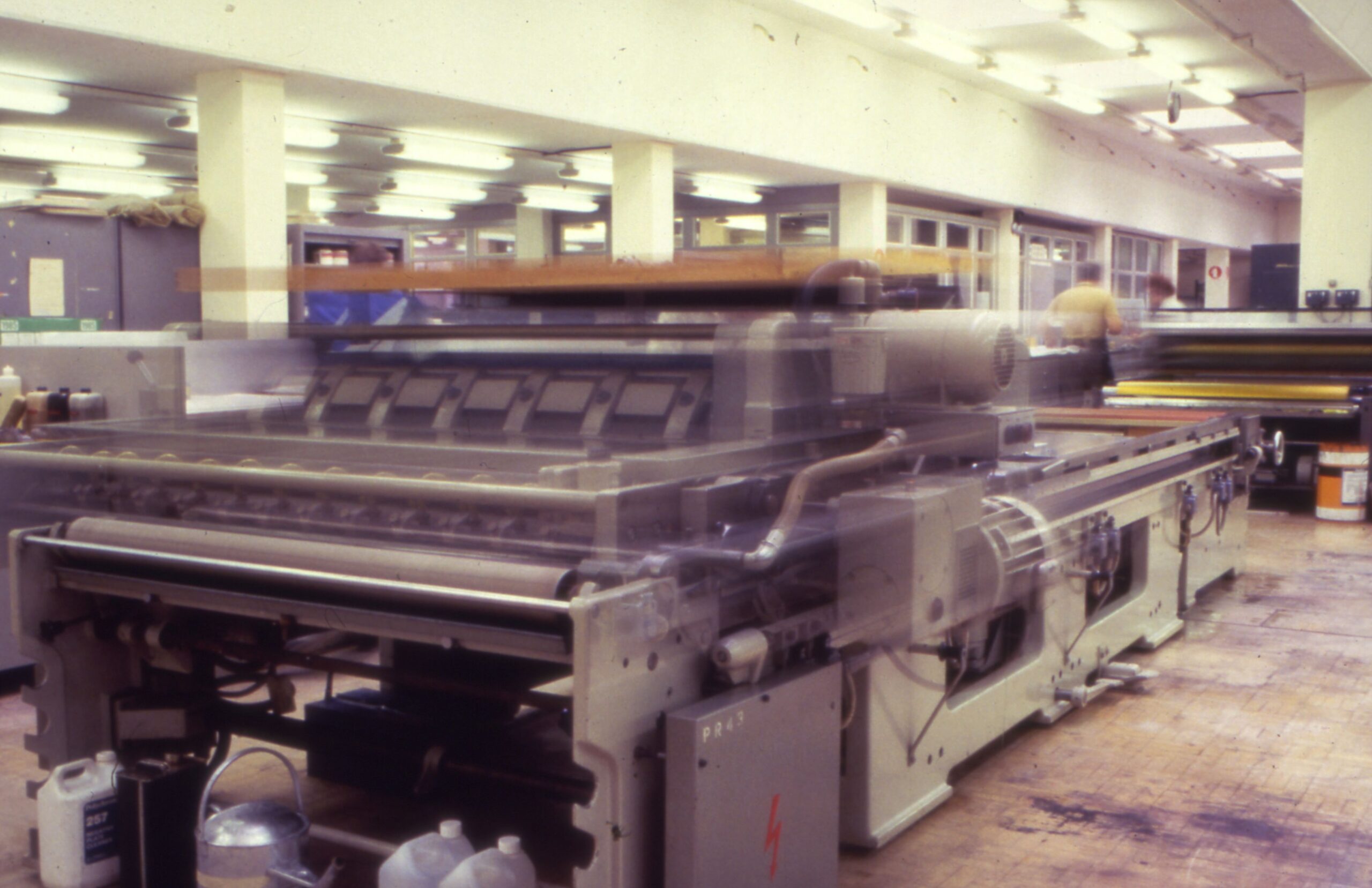
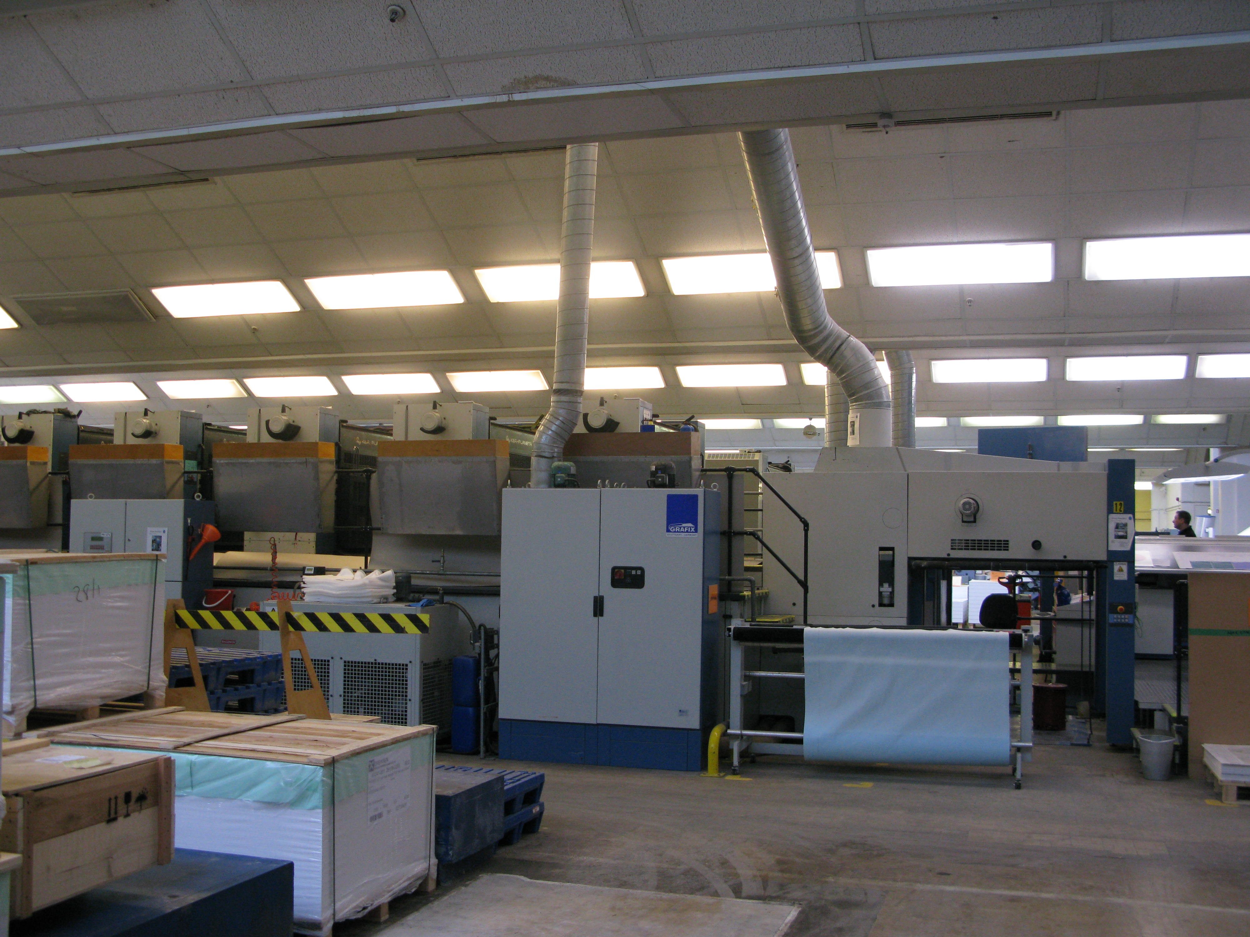
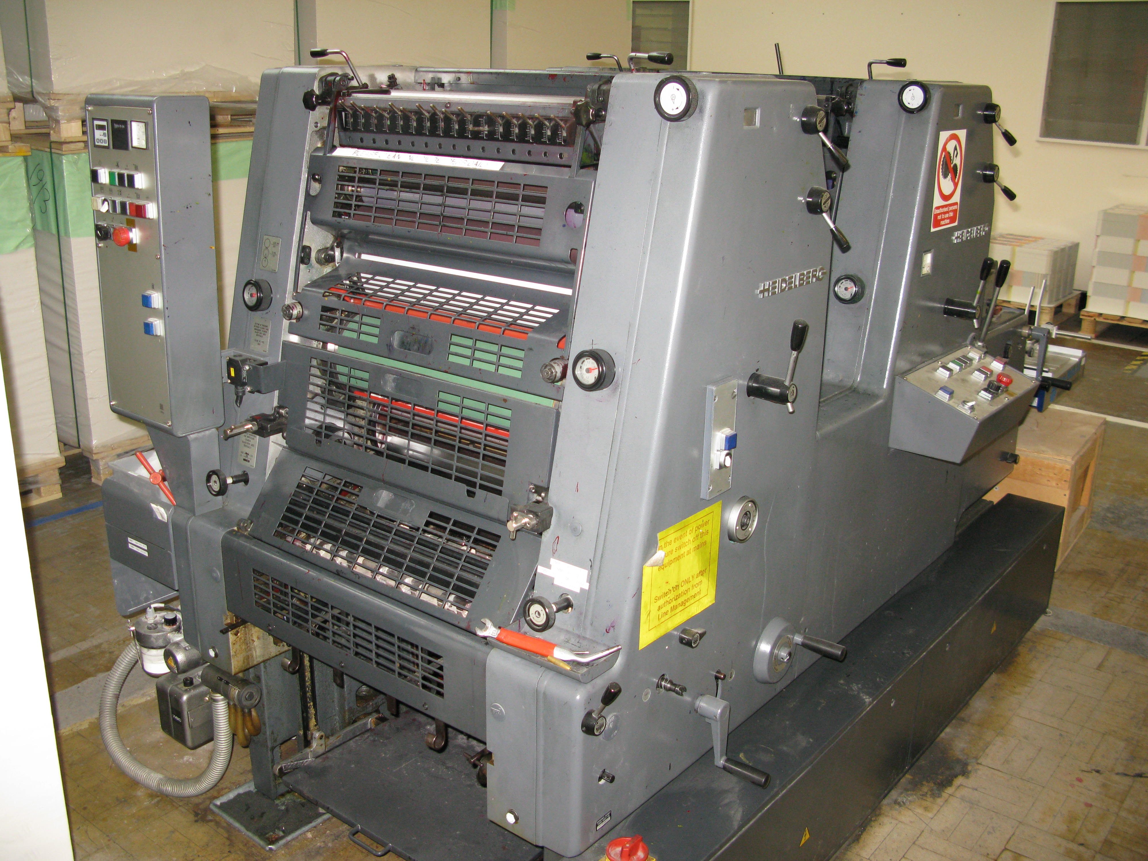
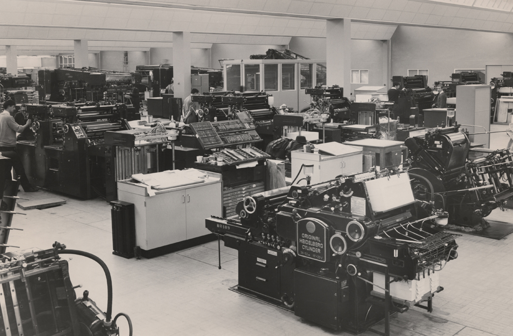
Printing machine at front end of the Print Floor 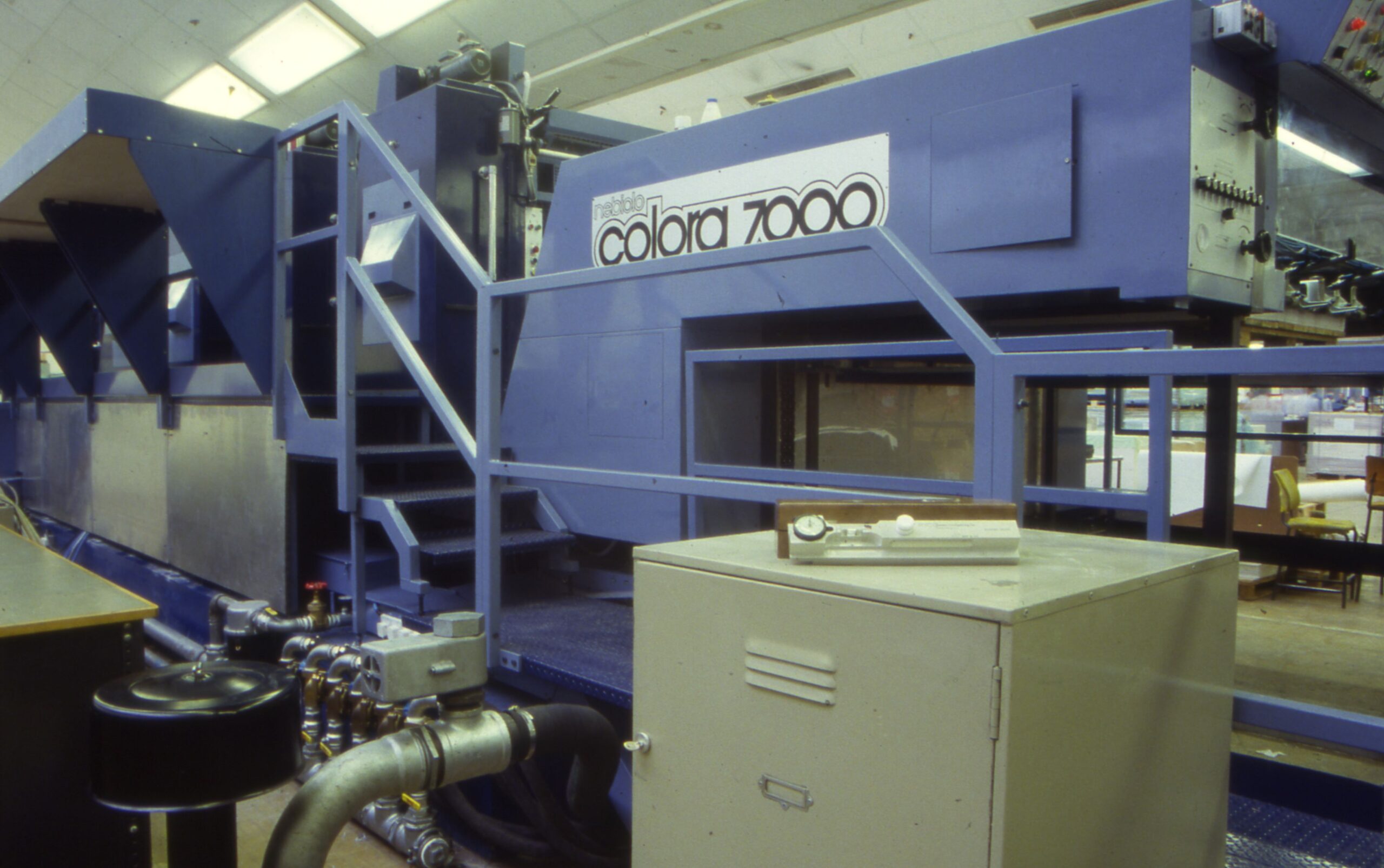
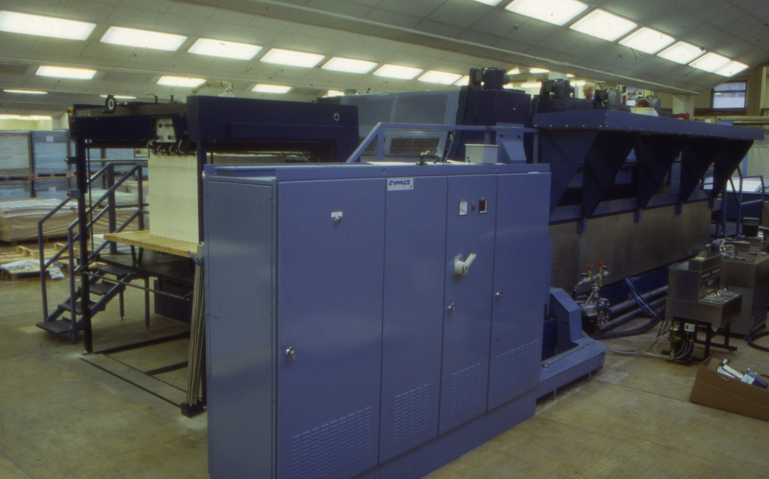
Nebiola Colara 7000 printing press 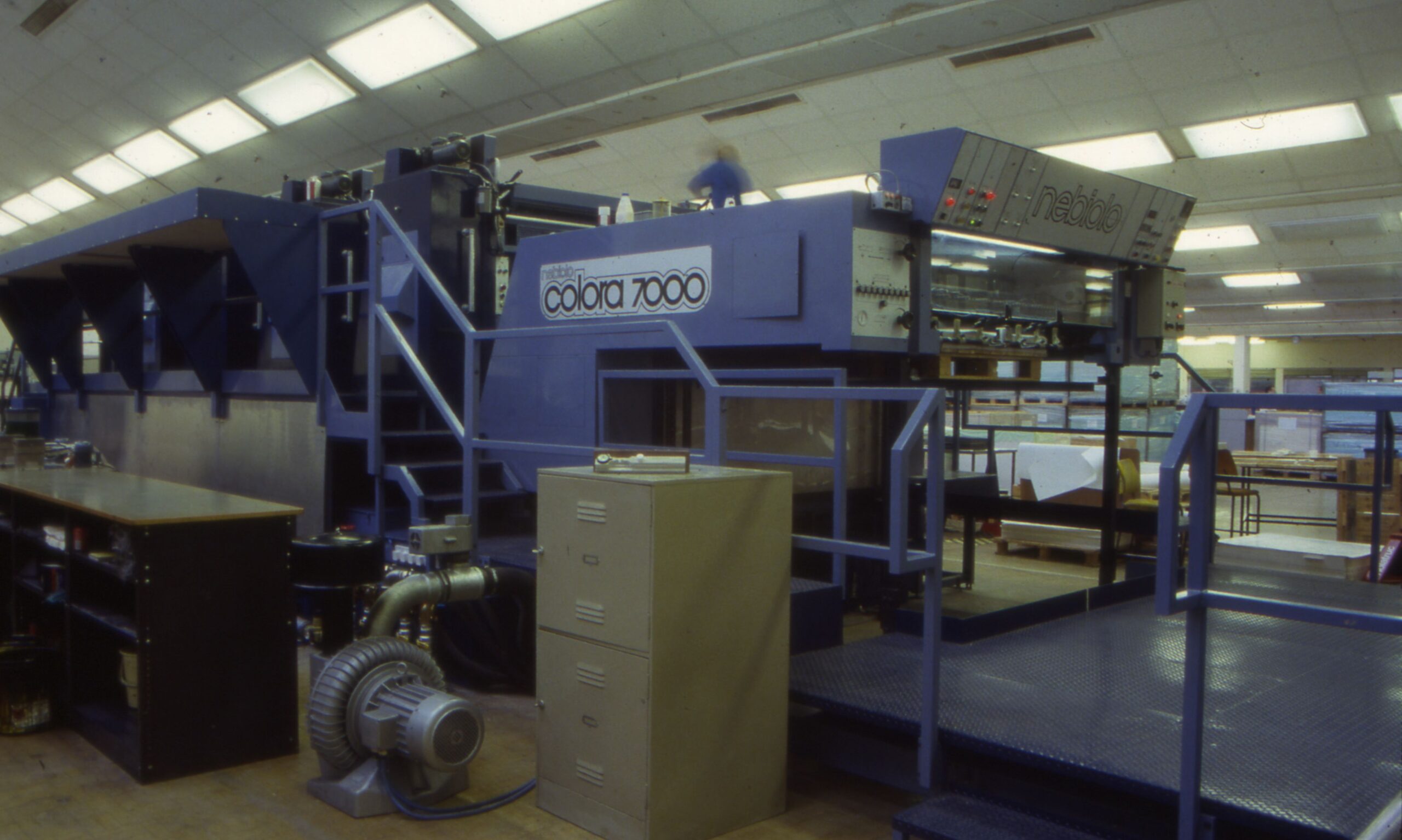
Nebiola Colara 7000 printing press Rear of the Nebiolo printing press? 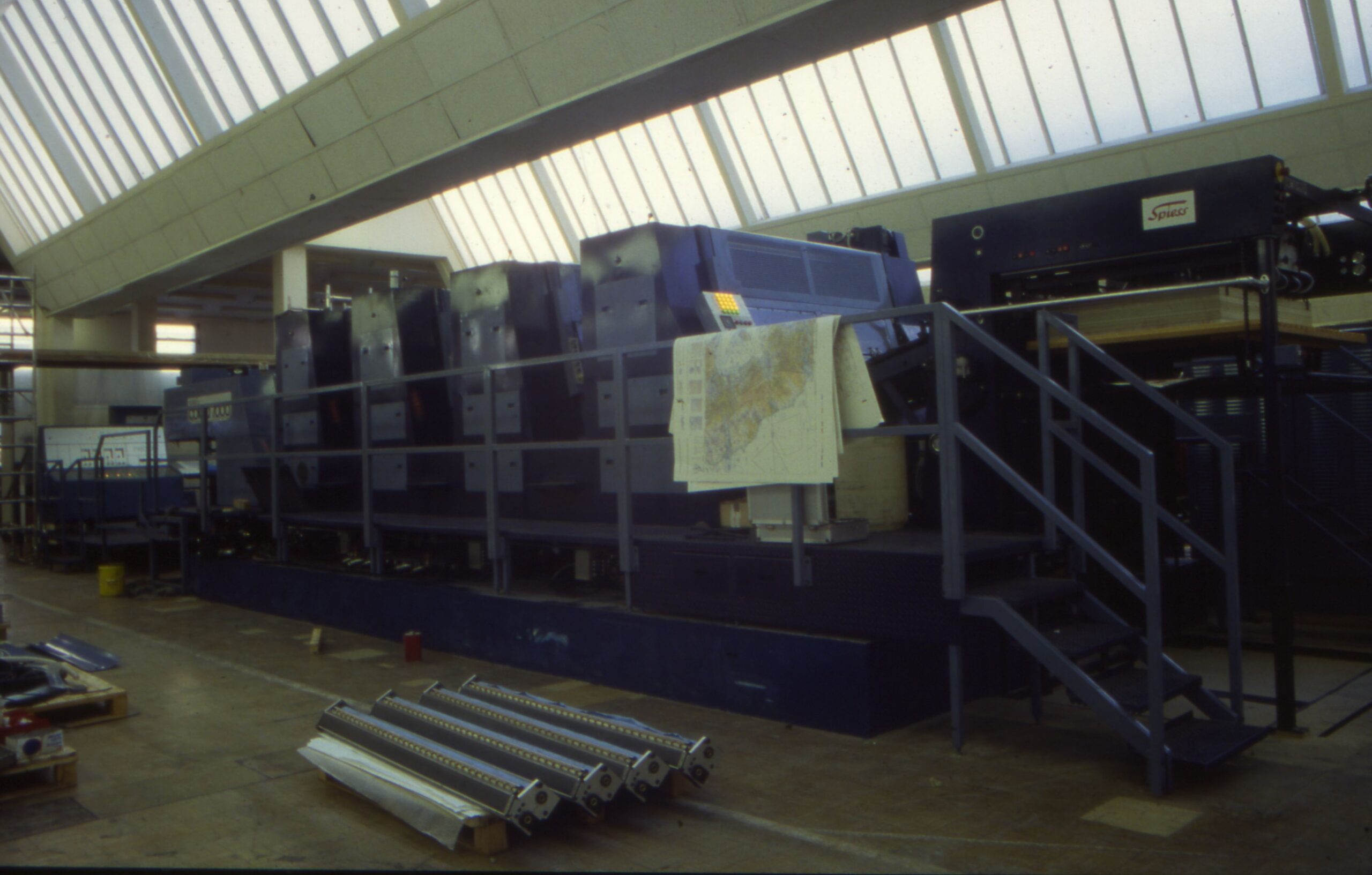
Nebiolo printing press?
Letterpress – add photos
Printing before Maybush
Before the move to Maybush in 1968-69, printing was carried out in the Romsey Road Block at the OSO Crabwood huts and also at London Road.
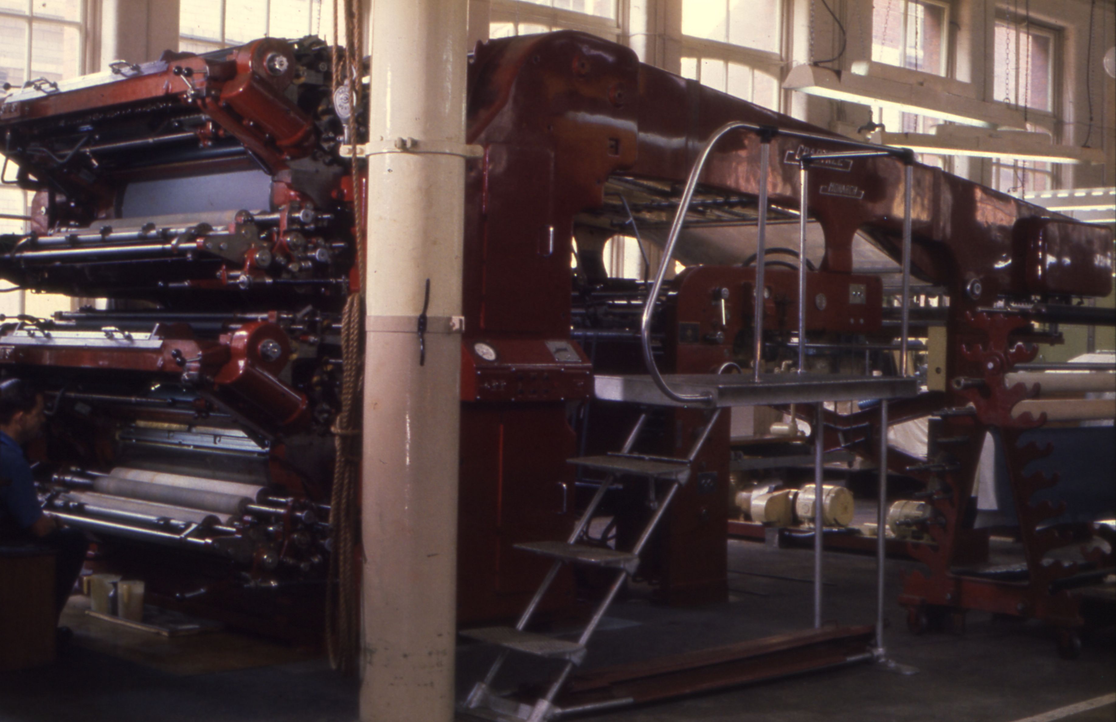
Crabtree Monarch printing press at London Road 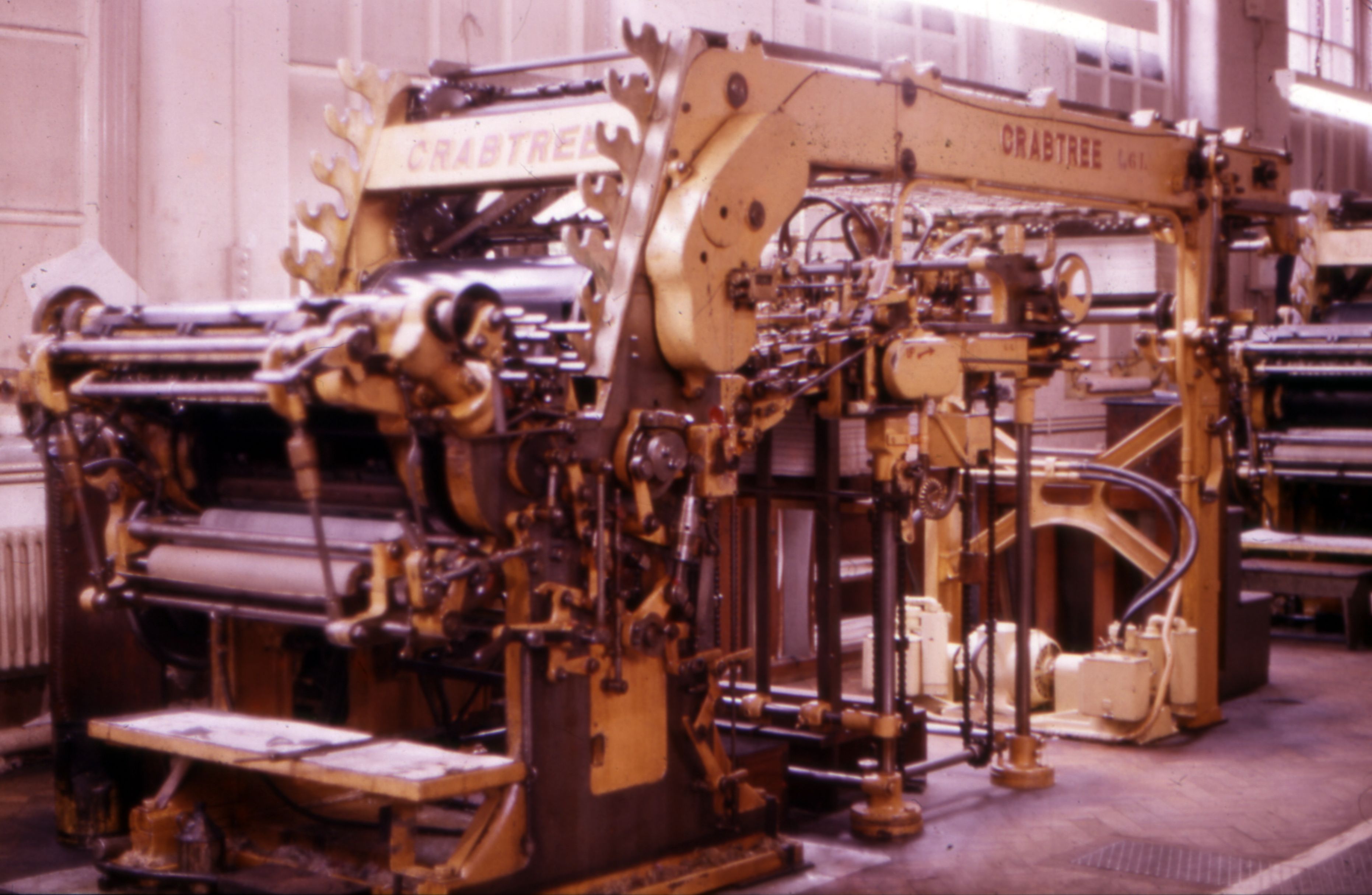
Crabtree printing press at London Road 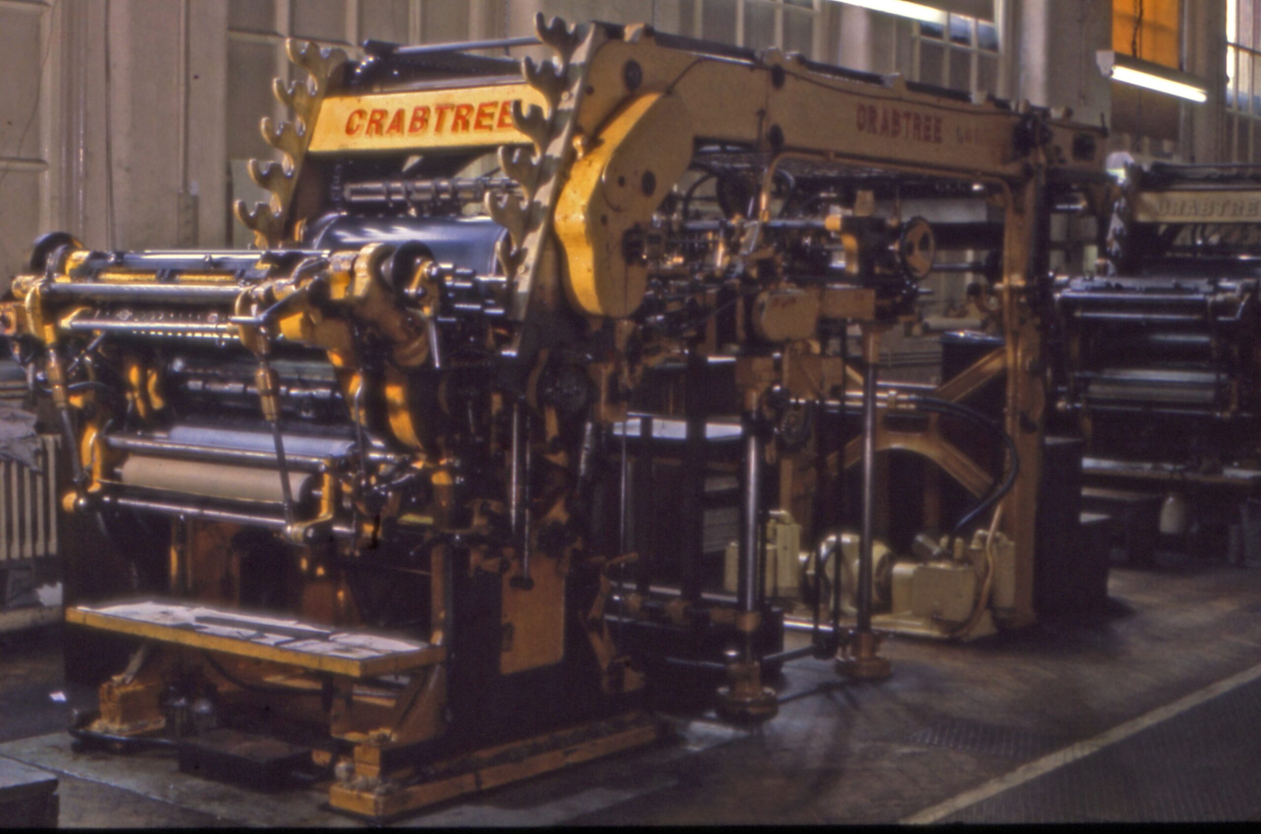
Crabtree printing press at London Road, 1950s/60s. 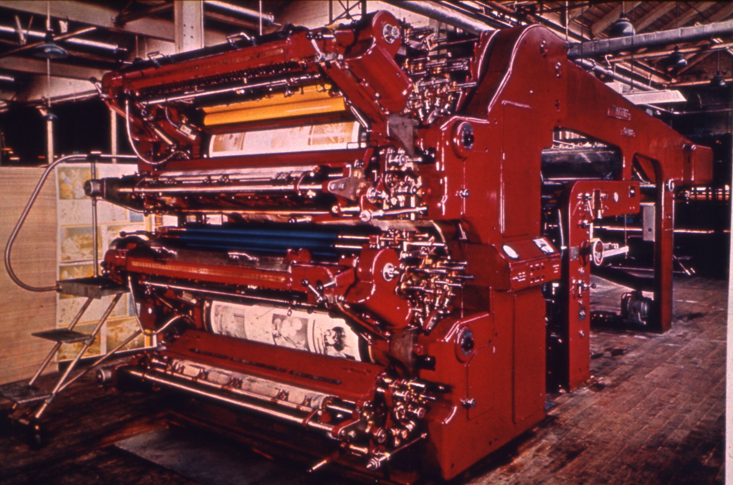
Crabtree printing press, old buildings 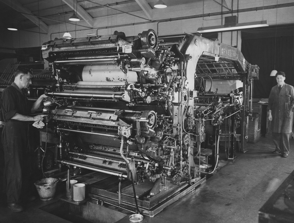
Crabtree printing press at Chessington 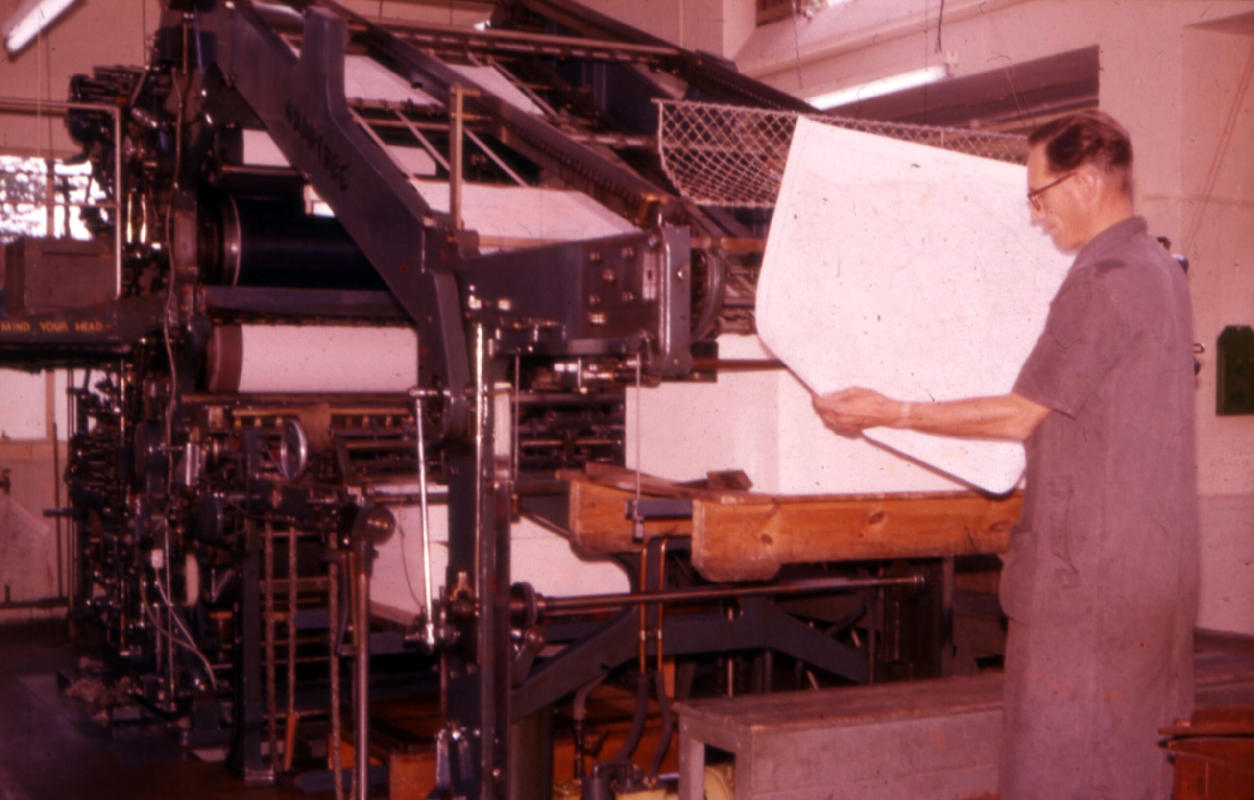
Historic printing equipment, not Maybush 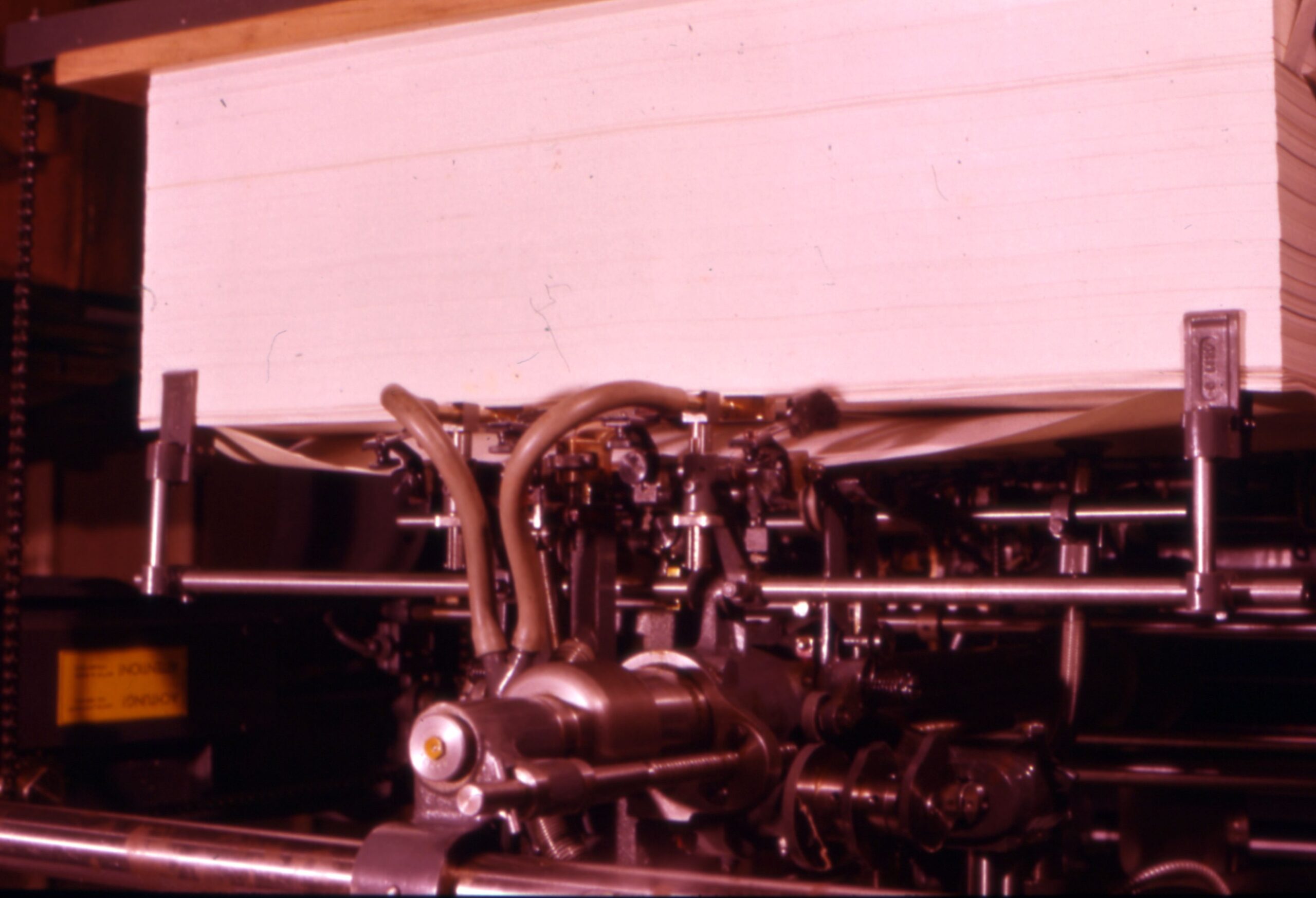
Historic printing equipment 
Historic printing equipment 
Historic printing equipment 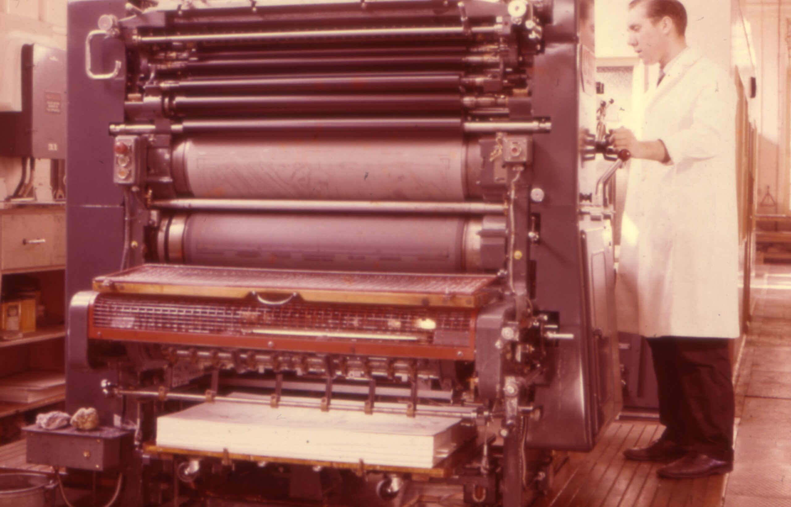
Small printing press, not at Maybush 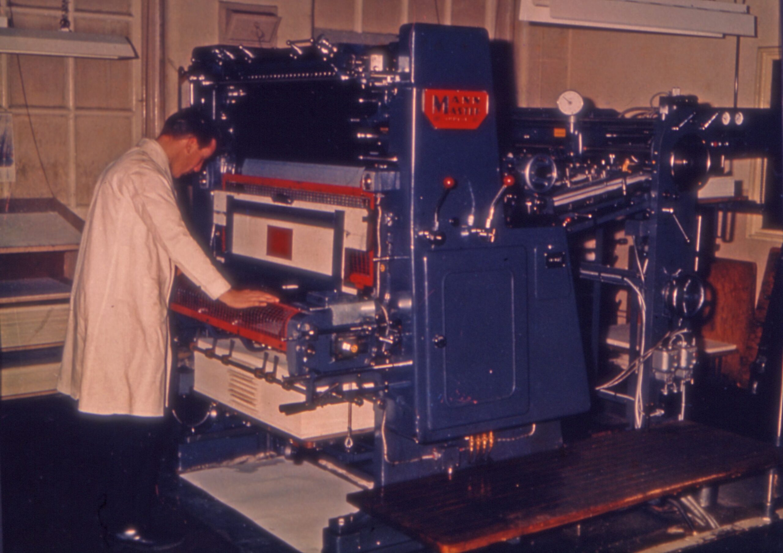
Mann Master printing press 
Printing – pre Maybush
Last updated on Friday 29 November 2019 by GaryReggae