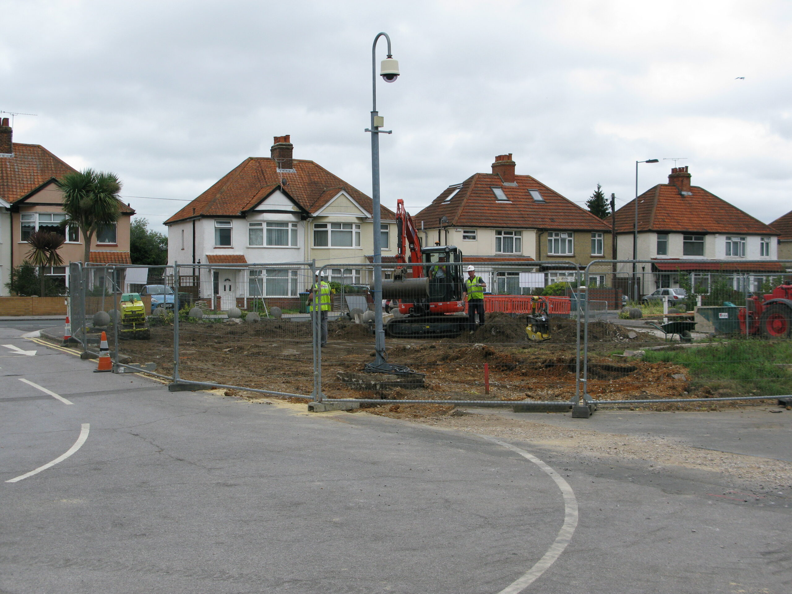
Ordnance Survey officially vacated the Maybush site on 4 March 2011 when the site was handed over to Kier, the developer of the Adanac Park and Maybush site.
Ian Corps and myself provided a detailed running commentary of the redevelopment work on site, taking many lunchtime field trips to photograph proceedings (with kind permission by site staff).
The photographs on this page are from a number of sources – mainly myself, Ian Corps and some official photos Ordnance Survey took for the Intranet, as well as some photos from several Urban Explorers who infiltrated the site. Most of these photos were on the now-defunct OurWiki site.
2011
Aug 2011
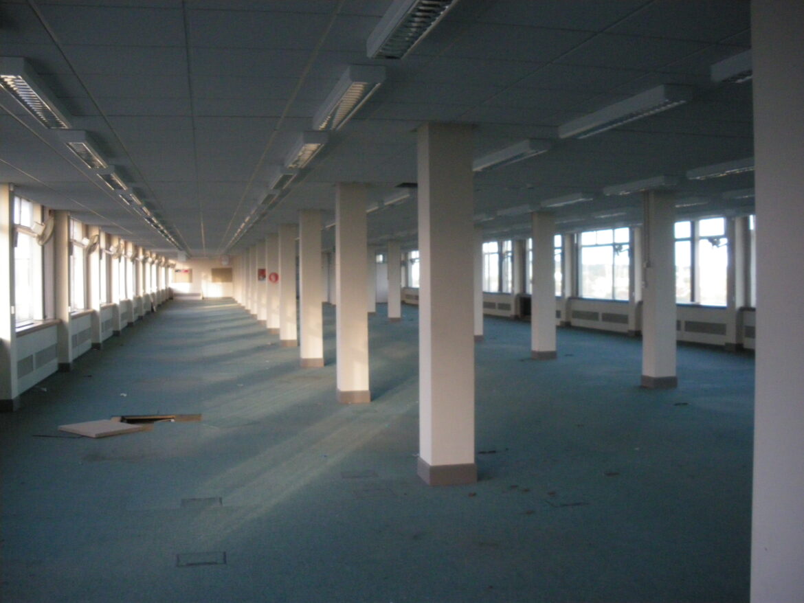
There was little activity on site until summer 2011, when I happened to find several reports on an Urban Exploration forum (28DaysLater) of Urban Explorers – groups of people who like to clandestinely explore and photograph empty/derelict buildings and post the photos online. There are some very skilled photographers, with many of them using professional quality cameras etc. The ethos is to leave nothing but footprints and take nothing but photos and damaging anything or breaking in is never acceptable.
I have included the captions used by the photographers as it is amusing to hear what they think about the place not knowing much about the activity that took place before it was vacated by OS.
If you can’t see a caption, hover the mouse cursor over it and it should pop up. Most of these photos have a detailed description so click on them and you should see the full details images and can click see full size. The image galleries here use two different formats at the moment.
16 July 2011 – TehCocoRico


16 Jul 2011 – mffp


Jul 2011 – AnotherMansCause


Sep 2011
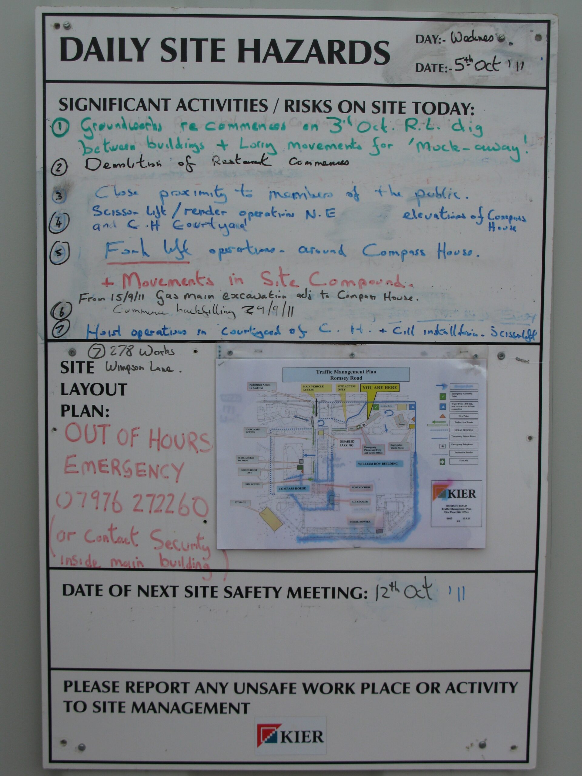
In September 2011, Team Urbex made three successful visits to the site but after previous explorers got lost, they needed an expert tour guide.
See Romsey Road redevelopment – Sep 2011 for the full details and numerous photos.
October 2011
In October 2011, there were plans to demolish the restaurant but that didn’t actually happen until the following summer.
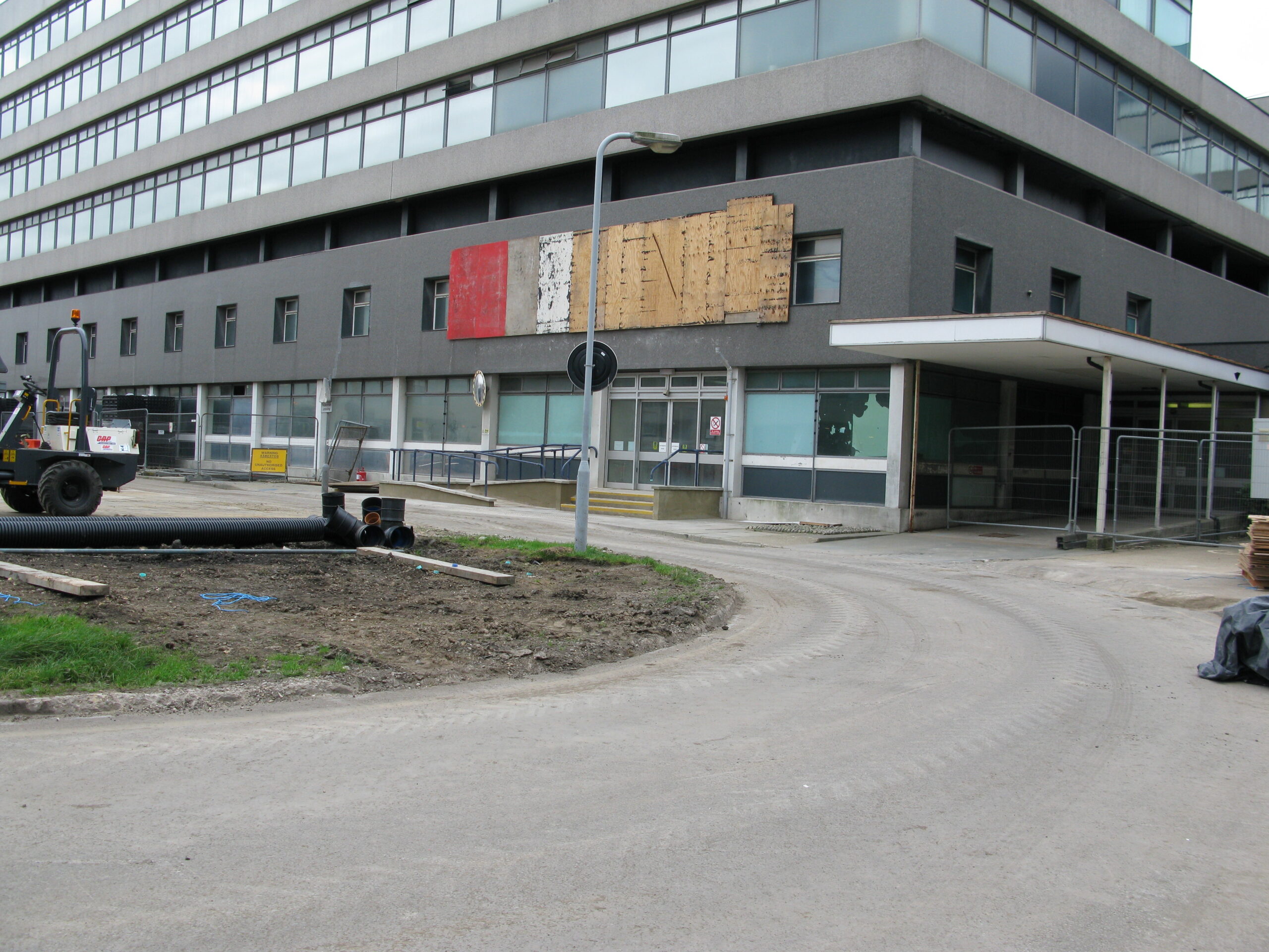
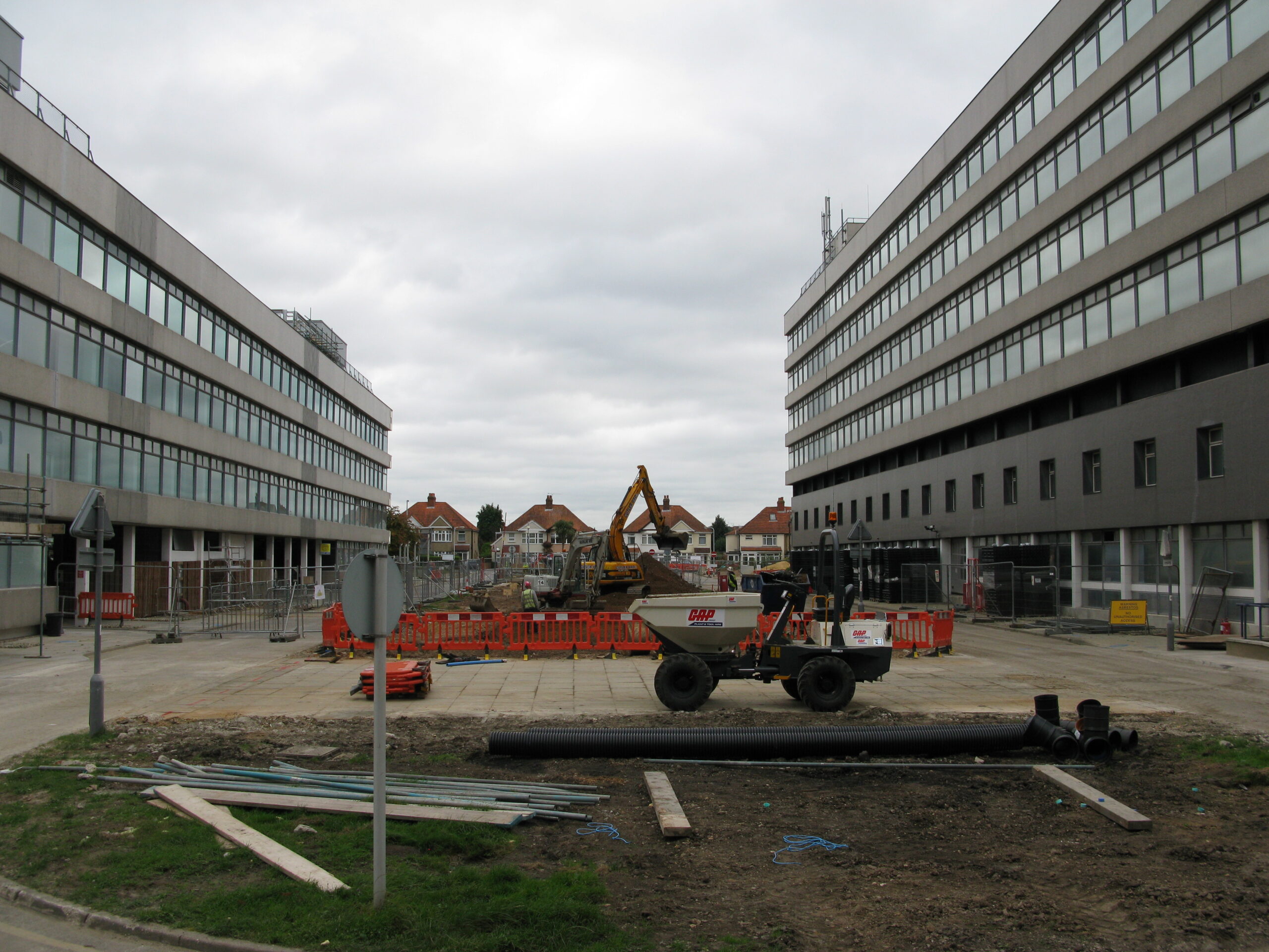
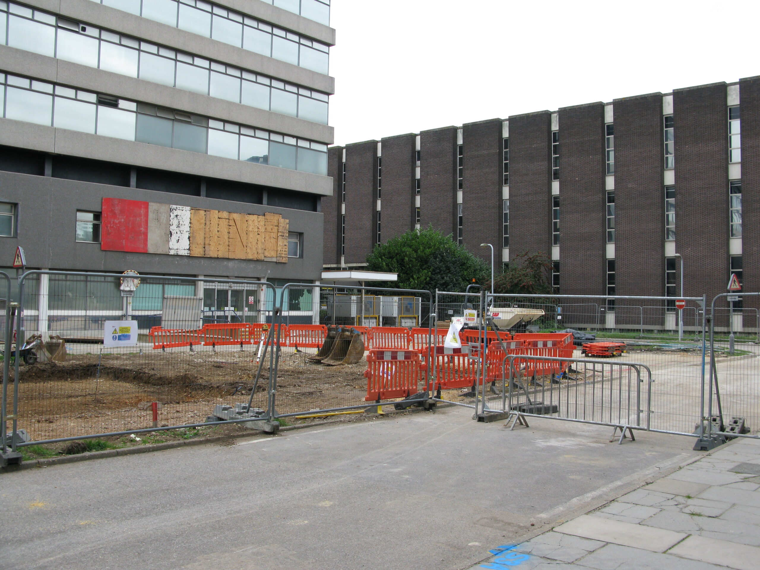
The Port Cochere (covered way) connecting the WRB and Compass House was demolished in Sep 2011. Fortunately, the mural was removed on behalf of the original sculptor, Keith McCarter.
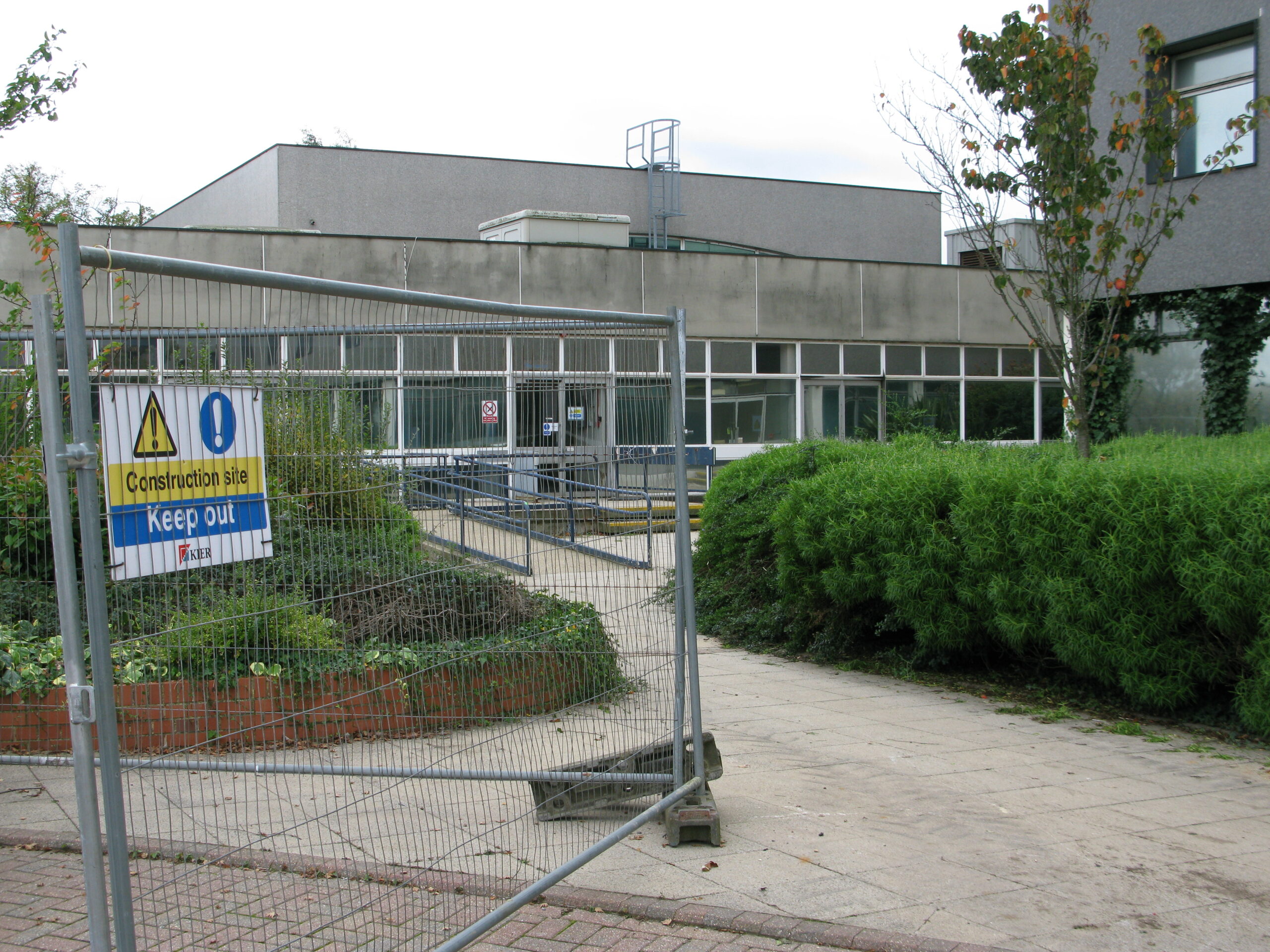
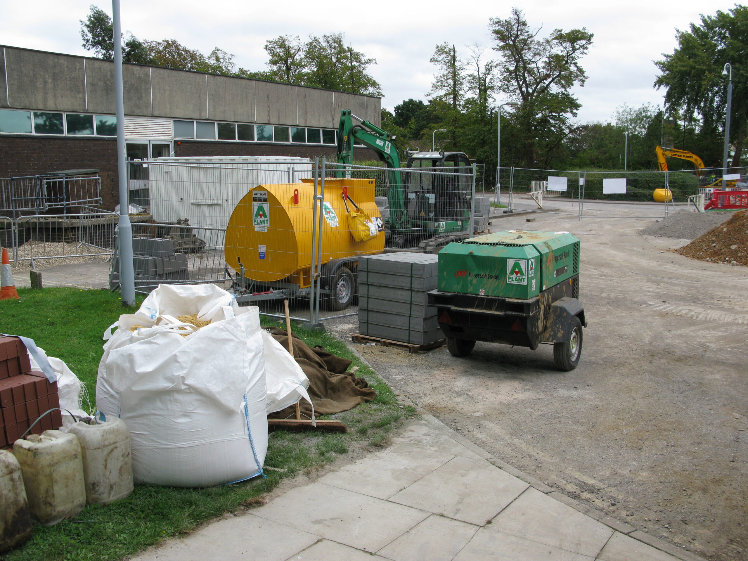
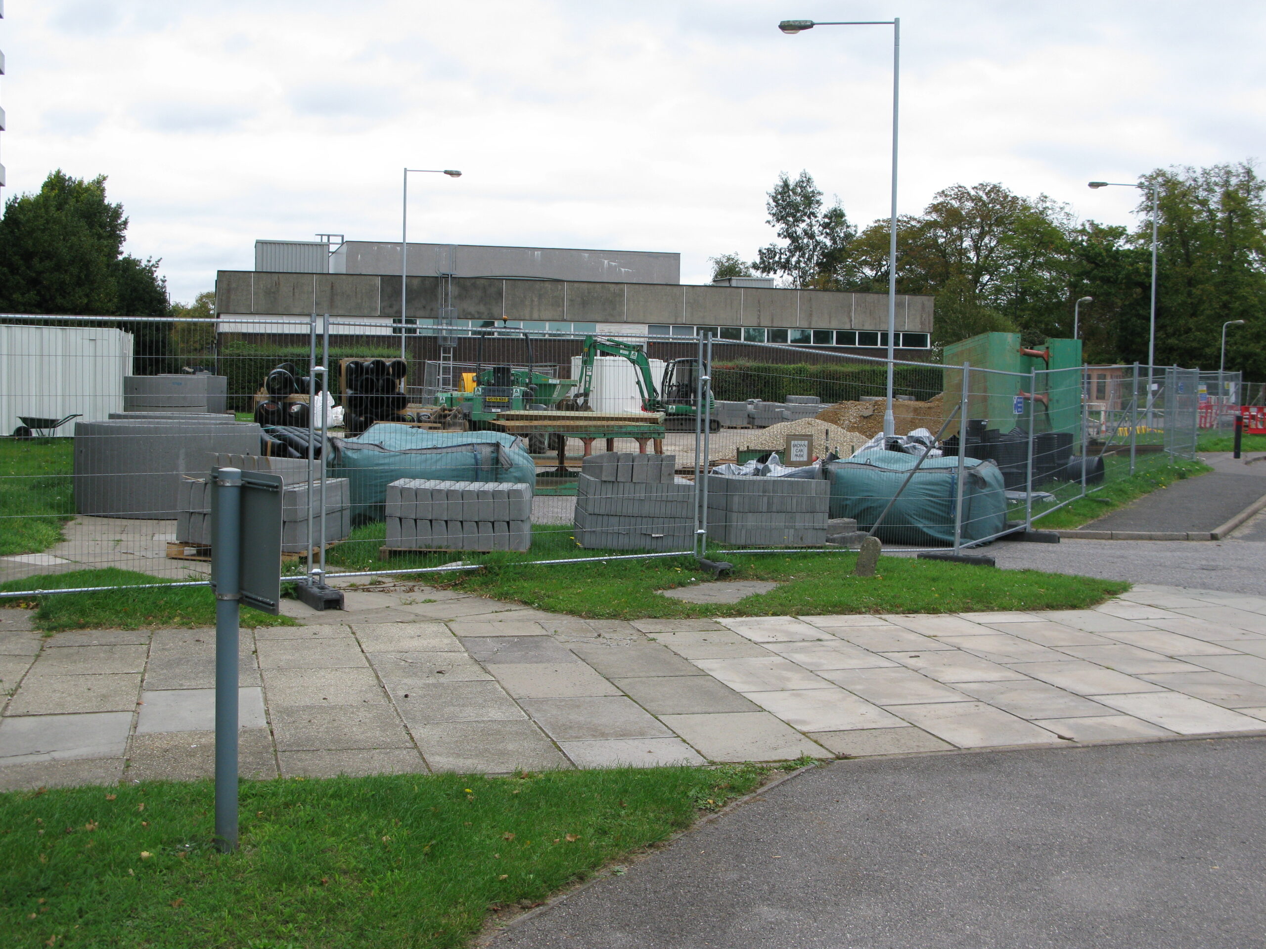
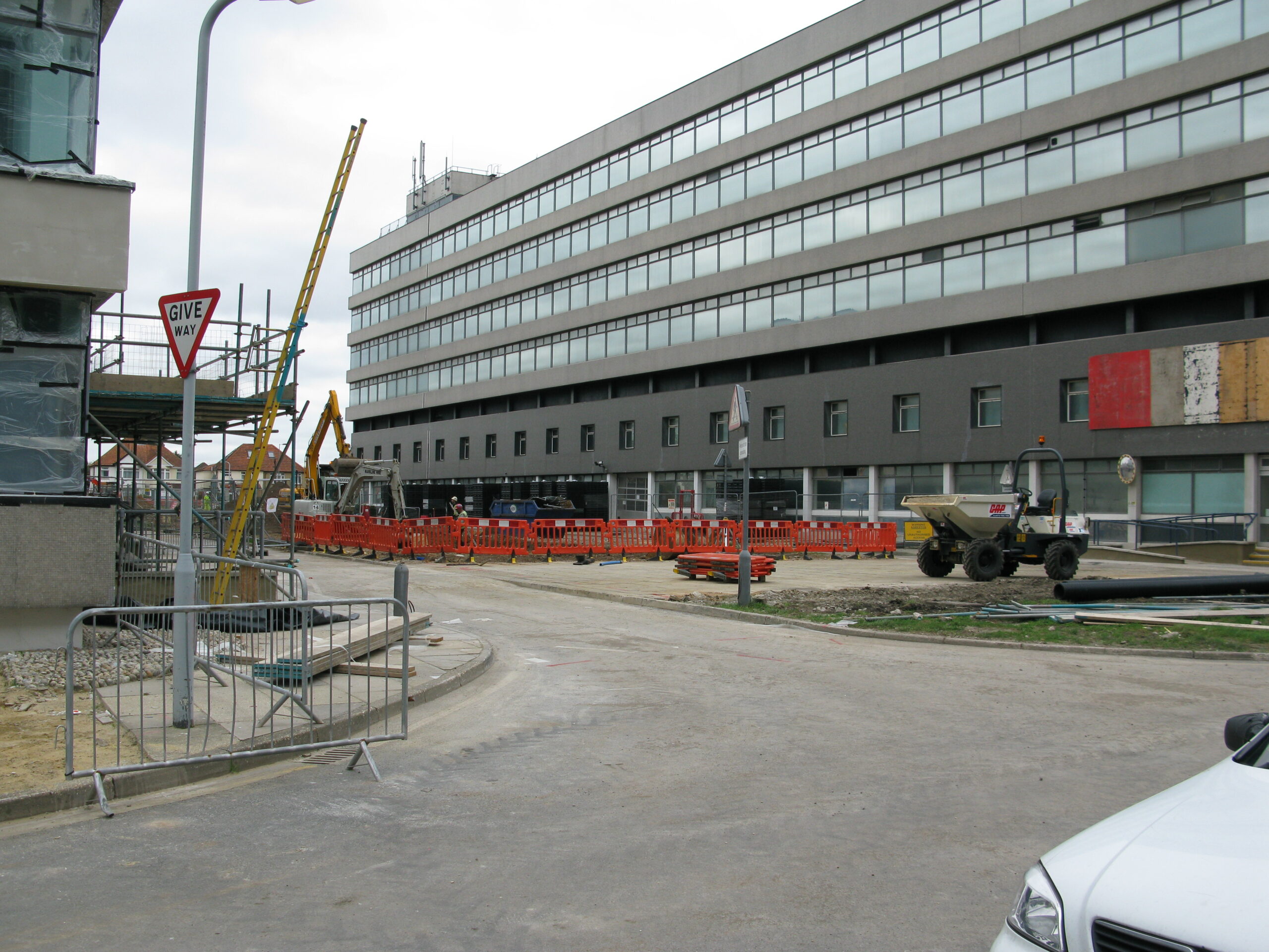
With the Port Cochere gone, work on creating a new car park for Compass House between that building and the WRB was underway, as was work on rebuilding the main Romsey Road entrance to the site.
The standby generator (for the computer room) had ben removed and so had the plaque outside the main Reception area.
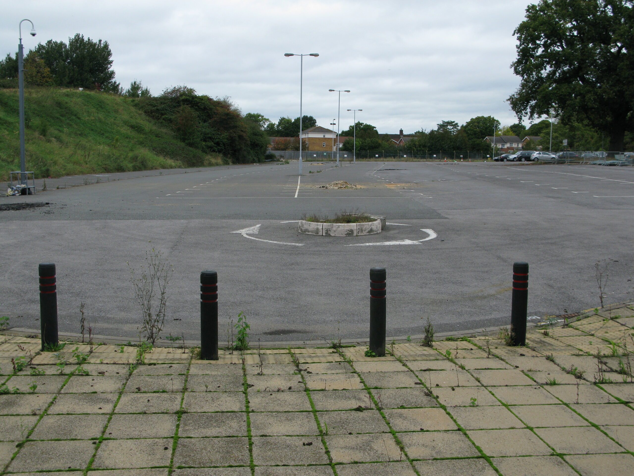
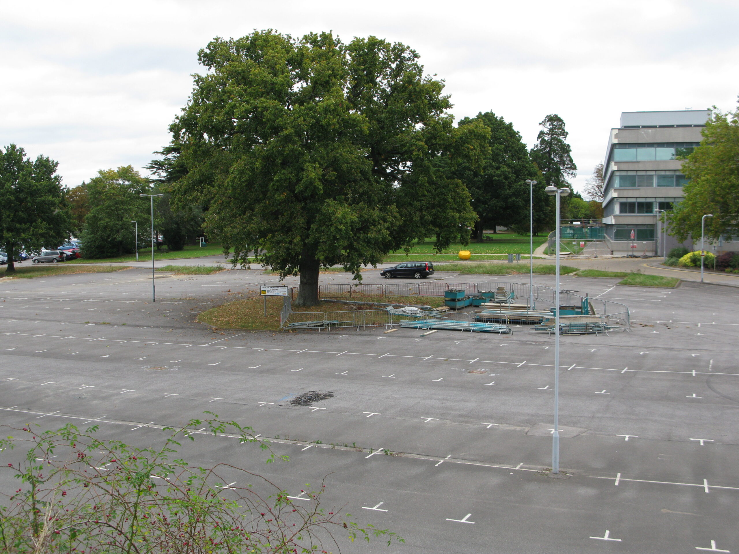
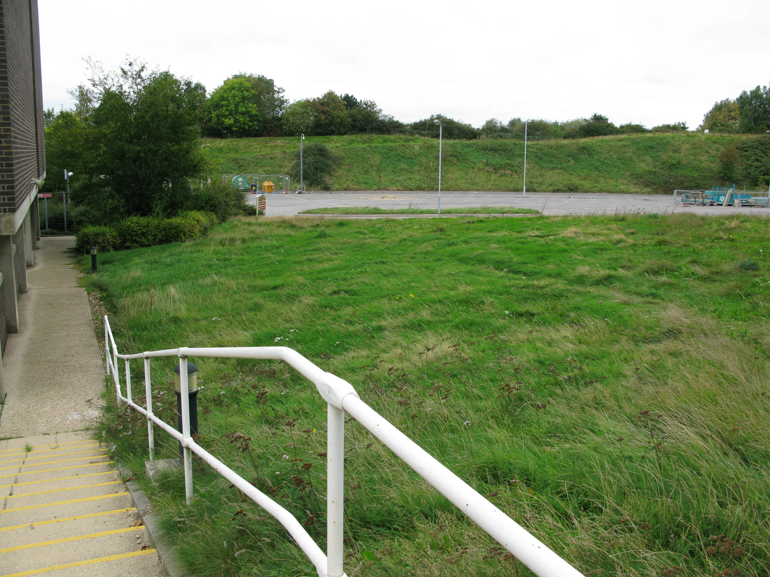
Many of the trees in the Yellow car park/Compass House lawn were fenced off to be retained and according to Google Earth, they are still there now.
In actual fact, the restaurant was the last building to be demolished, not until summer 2012.
2012
In mid 2012, complete demolition of the entire site was completed so each month of that year will have a separate page:
Feb 2012 – to follow
Mar 2012 – to follow
Apr 2012
- demolition of West Block commenced;
- demolition of B-C spur was completed;
- demolition of 3d floor corridor (K-E) was completed; and
- demolition of Business Centre and the Repro area behind was completed.
See Romsey Road redevelopment – Apr 2012 for hundreds of photos.
Last updated on Saturday 16 April 2022 by GaryReggae